Lewiston in Trinity County, California — The American West (Pacific Coastal)
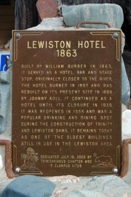
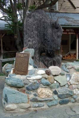
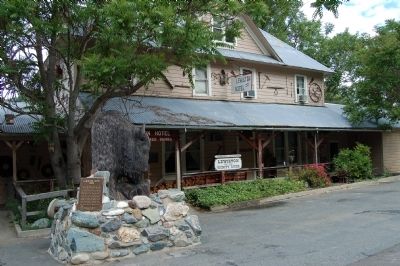
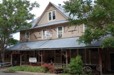
Lewiston Hotel
1863
Erected 2003 by E Clampus Vitus, Trinitarianus Chapter No. 62.
Topics and series. This historical marker is listed in these topic lists: Industry & Commerce • Notable Buildings. In addition, it is included in the E Clampus Vitus series list. A significant historical year for this entry is 1863.
Location. 40° 42.843′ N, 122° 48.219′ W. Marker is in Lewiston, California, in Trinity County. Marker can be reached from Deadwood Road, on the right when traveling south. Touch for map. Marker is at or near this postal address: 125 Deadwood Road, Lewiston CA 96052, United States of America. Touch for directions.
Other nearby markers. At least 8 other markers are within 7 miles of this marker, measured as the crow flies. Lewis’ Town/Lewiston (approx. half a mile away); The Killing of Edward Jose’ (approx. half a mile away); Lewiston Pioneer Cemetery (approx. 0.6 miles away); Congregational Church of Lewiston (approx. 0.6 miles away); Wilson Ranch Granary (approx. 1.2 miles away); Jumper Sawmill (approx. 5˝ miles away); Steel Bridge (approx. 6.6 miles away); Lowden’s Wagon Road (approx. 6.7 miles away). Touch for a list and map of all markers in Lewiston.
Credits. This page was last revised on June 16, 2016. It was originally submitted on June 10, 2012, by Barry Swackhamer of Brentwood, California. This page has been viewed 620 times since then and 38 times this year. Photos: 1, 2, 3, 4. submitted on June 10, 2012, by Barry Swackhamer of Brentwood, California. • Syd Whittle was the editor who published this page.


