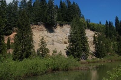
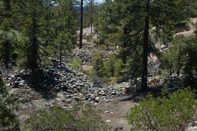
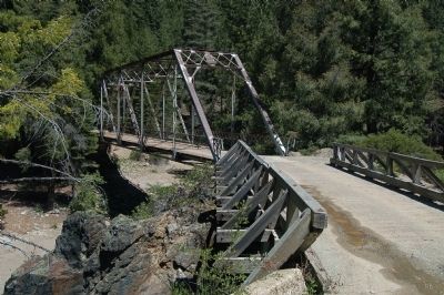
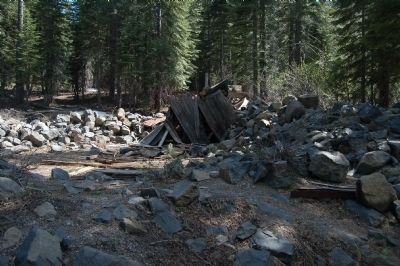
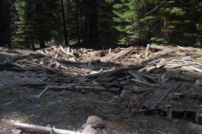
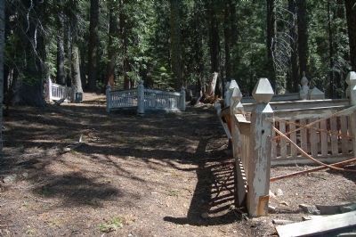
Near La Porte in Plumas County, California — The American West (Pacific Coastal)
Port Wine
Please help protect your American Heritage
On lands administered by the Forest Service, it is unlawful to excavate, remove, disturb, deface or destroy any historic building, ruin, site, artifact, or object, or to collect, appropriate, excavate, damage, disturb, or destroy historic artifacts. Violators are subject to arrest. Conviction can carry criminal penalties up to two years in prison and/or $500,000 in fine.
...Archaeological Resources Protection Act of 1979
Erected by US Forest Service, Plumas National Forest.
Topics. This historical marker is listed in these topic lists: Industry & Commerce • Natural Resources • Settlements & Settlers. A significant historical year for this entry is 1850.
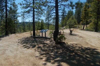
Location. 39° 39.637′ N, 120° 56.995′ W. Marker is near La Porte, California, in Plumas County. Marker is on Port Wine Ridge Road (County Route 690). Marker is located in the Plumas National Forest. Touch for map. Marker is in this post office area: Strawberry Valley CA 95981, United States of America. Touch for directions.
Other nearby markers. At least 8 other markers are within 3 miles of this marker, measured as the crow flies. Benjamin W. Barnes (approx. 2.2 miles away); “Quick Silver Charley” (approx. 2.2 miles away); La Porte’s Chinese Community (approx. 2.3 miles away); Fuller & Buell (approx. 2.4 miles away); Reilly’s Saloon (approx. 2.4 miles away); Frank D. Everts (approx. 2.4 miles away); Cleve O’Rourke Memorial Stampmill (approx. 2.4 miles away); John Conly & Co. Bankers (approx. 2.4 miles away). Touch for a list and map of all markers in La Porte.
More about this marker. The Port Wine marker was found by following the directions in the US Forest Service pamphlet Auto Tour of Historic Sites on the Plumas National Forest which says:
"From the La Porte Cemetery reset your odometer and proceed on Church Street which will turn into County
Road 791 (a gravel road) outside of the town of La Porte. Go 1.8 miles to the Slate Creek bridge. Cross the bridge and travel 2.0 miles to a "T" intersection with County Road 690. Turn Right and go 1.6 miles to the Port Wine sign."
Some faith in the instructions may be required as none of the roads have signs.
The Auto Tour also leads to the towns of St. Louis, Howland Flat, Poker Flat (of Bret Harte fame) and Gibsonville. The road to Poker Flat requires a high clearance, 4WD vehicle and was not attempted. The signs for St. Louis, Howland Flat and Gibsonville are missing.
Credits. This page was last revised on November 14, 2020. It was originally submitted on June 15, 2012, by Barry Swackhamer of Brentwood, California. This page has been viewed 702 times since then and 32 times this year. Last updated on June 21, 2012, by Barry Swackhamer of Brentwood, California. Photos: 1, 2, 3, 4, 5, 6, 7, 8. submitted on June 15, 2012, by Barry Swackhamer of Brentwood, California. • Syd Whittle was the editor who published this page.

