Plains in Sumter County, Georgia — The American South (South Atlantic)
Cash Crops
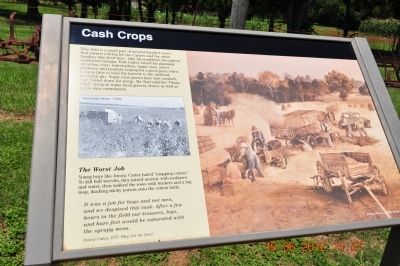
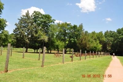
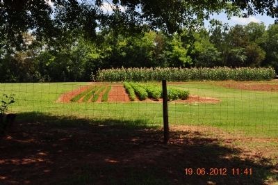
This fields is a small part of several hundred acres that earned a living for the Carters and the other families who lived here. Like his neighbors throughout southwest Georgia, Earl Carter mixed his plantings of cotton, corn, watermelons, sugar cane, sweet potatoes, and peanuts, hoping for a good price when it came time to haul the harvest to the railroad or cotton gin. Sugar cane grown here was crushed, then boiled down from syrup. Mr Earl sold his "Plains Maid' syrup in many local grocery stores as well as his own commissary.
The Worst Job
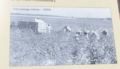
Young boys like Jimmy Carter hated "mopping cotton." To kill boll weevils, they mixed arsenic with molasses and water, then walked the rows with buckets and a rag mop, daubing sticky poison onto the cotton buds.
It was a job for boys and not men, and we despised this task.
After a few hours in the fields our trousers, legs, and bare feet would be saturated with the syrupy mess. Jimmy Carter, 1975 Why not the Best?
Erected by National Park Service, U.S. Department of the Interior.
Topics and series. This historical marker is listed in these topic lists: Agriculture • Horticulture & Forestry • Industry & Commerce . In addition, it is included in the Former U.S. Presidents: #39 James Earl "Jimmy" Carter, Jr. series list. A significant historical year for this entry is 1975.
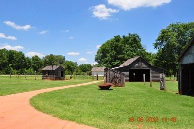
Location. 32° 1.563′ N, 84° 25.937′ W. Marker is in Plains, Georgia, in Sumter County. Marker is on Old Plains Highway, on the right when traveling west. Marker is located in Plains, Georgia on Carter Boy Hood Farm Jimmy Carter National Historic Site United States Department of Interior. Touch for map. Marker is in this post office area: Plains GA 31780, United States of America. Touch for directions.
Other nearby markers. At least 8 other markers are within walking distance of this marker. Never Far from Home (within shouting distance of this marker); Legacy of an Outdoor Childhood (within shouting distance of this marker); Catch the Mules (within shouting distance of this marker); Blacksmith Shop (within shouting distance of this marker); The Carter Family Garden (about 300 feet away, measured in a direct line); Winds of Change (about 300 feet away); Next-door Neighbors (about 300 feet away); Tennis Court (about 400 feet away). Touch for a list and map of all markers in Plains.
Credits. This page was last revised on June 12, 2020. It was originally submitted on June 25, 2012, by Sandra Hughes Tidwell of Killen, Alabama, USA. This page has been viewed 429 times since then and 6 times this year. Photos: 1, 2, 3, 4, 5. submitted on June 25, 2012, by Sandra Hughes Tidwell of Killen, Alabama, USA. • Craig Swain was the editor who published this page.
