Winona in Winona County, Minnesota — The American Midwest (Upper Plains)
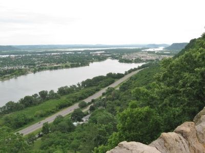
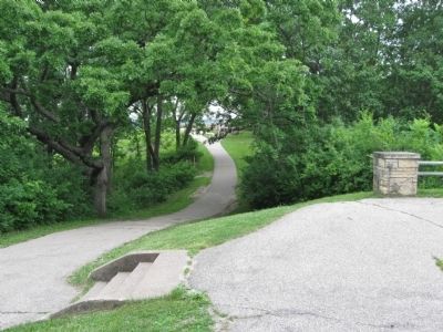
Garvin Heights
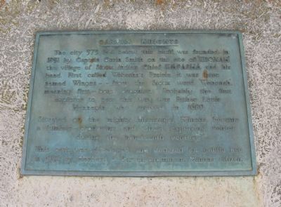
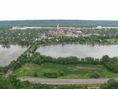
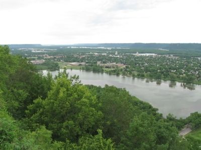
Situated on the mighty Mississippi, Winona became a lumber-producing and wheat exporting center during the nineteenth century.
This park was developed and donated for public use in 1922 by Herbert C. Garvin, prominent Winona citizen.
Topics. This historical marker is listed in these topic lists: Exploration • Industry & Commerce • Native Americans • Settlements & Settlers. A significant historical year for this entry is 1851.
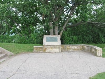
Location. 44° 2.069′ N, 91° 39.085′ W. Marker is in Winona, Minnesota, in Winona County. Marker can be reached from High Road, 0.2 miles north of East Garvin Heights Road. Marker is at the Garvin Heights Overlook in Garvin Heights Park. Touch for map. Marker is in this post office area: Winona MN 55987, United States of America. Touch for directions.
Other nearby markers. At least 8 other markers are within 2 miles of this marker, measured as the crow flies. Winona: River Village, Lumber Town, College Town (a few steps from this marker); Stephen Taylor (approx. 0.3 miles away); Potters' Field (approx. 0.4 miles away); U.S. Coast Guard Cutter Winona (approx. 0.6 miles away); Sugar Loaf Bluff (approx. 1.2 miles away); The Watkins Manor House (approx. 1.2 miles away); We-No-Nah (approx. 1.3 miles away); Winona County Soldiers and Sailors Memorial (approx. 1.3 miles away). Touch for a list and map of all markers in Winona.
Also see . . . Winona, Minnesota. Wikipedia entry. (Submitted on June 28, 2012.)
Credits. This page was last revised on June 16, 2016. It was originally submitted on June 28, 2012, by Keith L of Wisconsin Rapids, Wisconsin. This page has been viewed 1,112 times since then and 266 times this year. Photos: 1, 2, 3, 4, 5, 6. submitted on June 28, 2012, by Keith L of Wisconsin Rapids, Wisconsin.
