Middletown in Frederick County, Virginia — The American South (Mid-Atlantic)
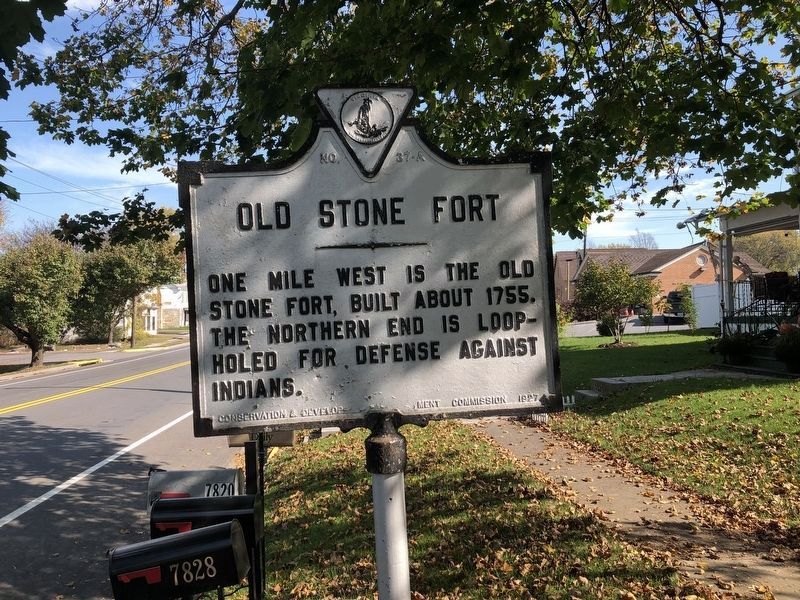
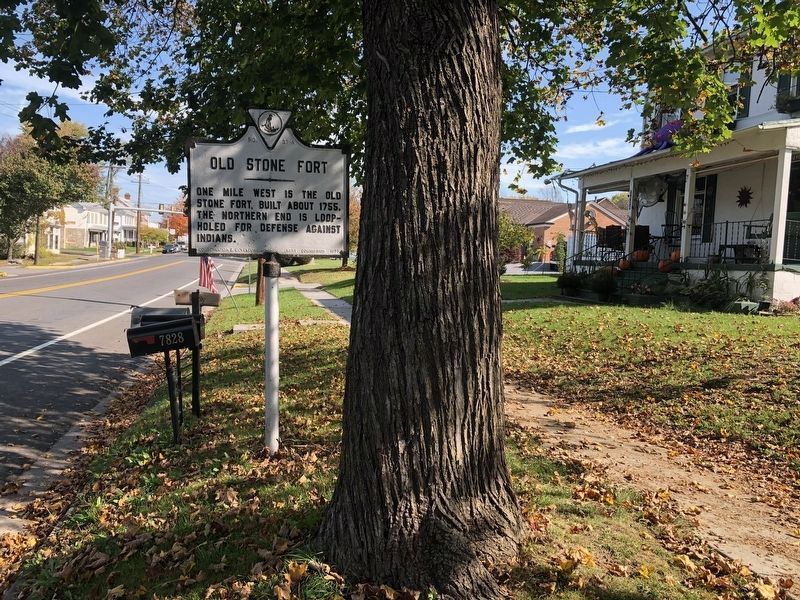
Old Stone Fort
Erected 1927 by Conservation & Development Commission. (Marker Number A-37.)
Topics and series. This historical marker is listed in these topic lists: Colonial Era • Forts and Castles • War, French and Indian • Wars, US Indian. In addition, it is included in the Virginia Department of Historic Resources (DHR) series list. A significant historical year for this entry is 1755.
Location. 39° 1.761′ N, 78° 16.671′ W. Marker is in Middletown, Virginia, in Frederick County. Marker is on Main Street (U.S. 11) 0.1 miles south of 1st Street, on the right when traveling north. Touch for map. Marker is in this post office area: Middletown VA 22645, United States of America. Touch for directions.
Other nearby markers. At least 5 other markers are within walking distance of this marker. Middletown Virginia (about 300 feet away, measured in a direct line); Colonel Charles Russell Lowell (about 400 feet away); Engagement Of Middletown (about 500 feet away); The Toll of War (about 600 feet away); The Shenandoah Valley / Battle of Cedar Creek, October 19, 1864 (approx. 0.2 miles away). Touch for a list and map of all markers in Middletown.
Additional commentary.
1. The Stone Fort
The marker probably references Nieswander's Fort located to the west of town along Middle Marsh Brook just south of the Hite Chapel Road (County Route 627). The fort was built in the 18th Century, and some remains were reported on site, in Park Service surveys, as recently as 1995. Federal troops occupied ground near the fort during the Battle of Cedar Creek, October 18, 1864. The remains, if still in existence, are on private property.
Another colonial era stone fort is reported to stand at Marlboro, further west on Hite Chapel Road, near the iron forge. However, in a survey dated from 1992 prepared for the Virginia Department of Historic Resources, "Stephen's Fort" was determined to be an ice house rather than a defensive fortification, despite local stories to the contrary.
— Submitted November 5, 2007, by Craig Swain of Leesburg, Virginia.
Credits. This page was last revised on October 24, 2020. It was originally submitted on October 2, 2006, by Roger Dean Meyer of Yankton, South Dakota. This page has been viewed 2,275 times since then and 71 times this year. Photos: 1, 2. submitted on October 24, 2020, by Devry Becker Jones of Washington, District of Columbia. • J. J. Prats was the editor who published this page.

