Forward Township near Elizabeth in Allegheny County, Pennsylvania — The American Northeast (Mid-Atlantic)
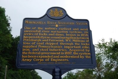
Monongahela River Navigation System
Erected 2012 by Pennsylvania Historical and Museum Commission.
Topics and series. This historical marker is listed in these topic lists: Industry & Commerce • Waterways & Vessels. In addition, it is included in the Pennsylvania Historical and Museum Commission series list. A significant historical year for this entry is 1838.
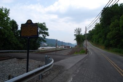
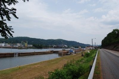
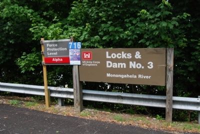
Location. 40° 15.754′ N, 79° 54.009′ W. Marker is near Elizabeth, Pennsylvania, in Allegheny County. It is in Forward Township. Marker is at the intersection of Bunola River Road and Entrance to Lock & Dam #3, on the right when traveling west on Bunola River Road. Touch for map. Marker is in this post office area: Elizabeth PA 15037, United States of America. Touch for directions.
Other nearby markers. At least 8 other markers are within walking distance of this marker. Walker House (approx. half a mile away); Yohogania Courthouse (approx. 0.6 miles away); The Old Graveyard (approx. 0.8 miles away); Lest We Forget (approx. one mile away); Honor Roll (approx. one mile away); These We Honor (approx. one mile away); a different marker also named Lest We Forget (approx. one mile away); Lafayette's Tour (approx. one mile away). Touch for a list and map of all markers in Elizabeth.
Also see . . .
1. US Army Corps of Engineers. (Submitted on June 30, 2012, by Mike Wintermantel of Pittsburgh, Pennsylvania.)
2. Historical Commission recognizes Elizabeth Lock & Dam. Article from the Pittsburgh Tribune-Review June 18, 2012 (Submitted on June 30, 2012, by Mike Wintermantel of Pittsburgh, Pennsylvania.)
Credits. This page was last revised on February 7, 2023. It was originally submitted on June 30, 2012, by Mike Wintermantel of Pittsburgh, Pennsylvania. This page has been viewed 1,029 times since then and 29 times this year. Photos: 1, 2, 3, 4. submitted on June 30, 2012, by Mike Wintermantel of Pittsburgh, Pennsylvania.


