Near Vineland in Niagara Region, Ontario — Central Canada (North America)
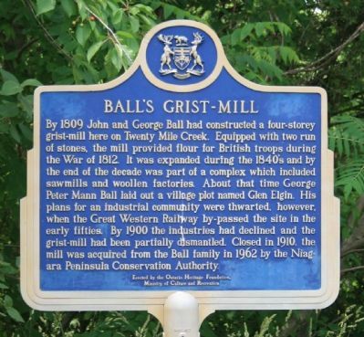
Ball's Grist-Mill
Erected by the Ontario Heritage Foundation, Ministry of Culture and Recreation.
Topics. This historical marker is listed in these topic lists: Industry & Commerce • Settlements & Settlers • War of 1812. A significant historical year for this entry is 1809.
Location. 43° 8.006′ N, 79° 22.996′ W. Marker is near Vineland, Ontario, in Niagara Region. Marker is on 6th Avenue (County Route 24) east of Victoria Avenue. At the Mill in Ball's Falls Conservation Area, Regional Rd. 24, just south of Vineland. Touch for map . Marker is at or near this postal address: 3262 Sixth Avenue, Vineland ON L0R 1S0, Canada. Touch for directions.
Other nearby markers. At least 8 other markers are within 11 kilometers of this marker, measured as the crow flies. Ridley College (approx. 10.8 kilometers away); DeCou's Stone House (approx. 11.2 kilometers away); Louis Shickluna 1808-1880 (approx. 11.3 kilometers away); Lance Corporal Fred Fisher, V.C. (approx. 11.3 kilometers away); Niagara District United Empire Loyalists Memorial (approx. 11.3 kilometers away); In Memorium Reqviescant in Pace (approx. 11.4 kilometers away); William Hamilton Merritt 1793 - 1862 (approx. 11.4 kilometers away); Anglican Church, St. Catharines (approx. 11.4 kilometers away).
More about this marker. In his book, "Guidebook to the Historic Sites of the War of 1812," Gilbert Collins states, "Grist mills became targets for enemy raids during the war, since they provided flour for the British army. Fortunately Ball's Mill was one of the few to survive, and is a four-storey structure that was built by John and George Ball in 1809. Today the mill can be seen in the Ball's Fall's Conservation area, located on Regional Road 24 near, Vineland, Ontario." (page 130)
Regarding Ball's Grist-Mill. My impression was that it wasn't
going to be easy for the casual visitor/historian to park their vehicle and do a quick visit of this historic marker site, and to visit and photograph the related buildings. Since I had a number of additional sites to visit and a limited amount of time to do it, I decided not to pull into the parking lot and to pay the admittance fee. You may or may not choose to do so, but I share this with you because I was unaware of the admission requirements when I made my decision to visit this site.
Photographed By Dale K. Benington, June 11, 2012
7. Ball's Grist-Mill Marker
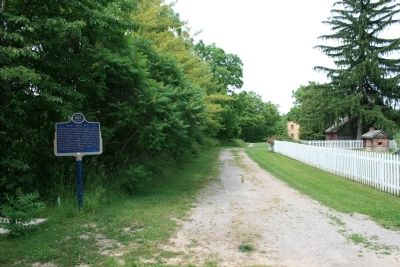
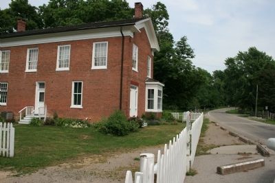
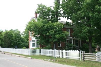
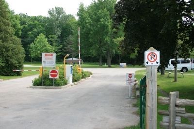
View of the authorized vehicle entrance to the Ball's Fall's Conservation area. Note the no parking sign in the foreground. Both sides of the street, along the Ball's Fall's Consevation area, are lined with no parking signs and portable concrete curbs to eliminate parking along the street.
Credits. This page was last revised on September 27, 2019. It was originally submitted on July 2, 2012, by Dale K. Benington of Toledo, Ohio. This page has been viewed 842 times since then and 15 times this year. Photos: 1, 2, 3, 4, 5, 6, 7. submitted on July 2, 2012, by Dale K. Benington of Toledo, Ohio.
