New Castle in New Castle County, Delaware — The American Northeast (Mid-Atlantic)
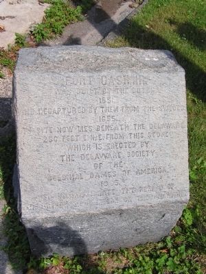
Fort Casimir
Erected 1905 by Delaware Society of the Colonial Dames of America.
Topics and series. This historical marker is listed in these topic lists: Colonial Era • Forts and Castles • Settlements & Settlers. In addition, it is included in the The Colonial Dames of America, National Society of series list. A significant historical year for this entry is 1651.
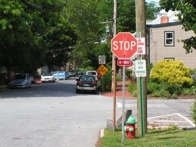
Location. 39° 39.733′ N, 75° 33.6′ W. Marker is in New Castle, Delaware, in New Castle County. Marker is at the intersection of Second Street and Chestnut Street on Second Street. Touch for map. Marker is in this post office area: New Castle DE 19720, United States of America. Touch for directions.
Other nearby markers. At least 8 other markers are within walking distance of this marker. Site of Fort Casimir (a few steps from this marker); Fort Casimir: Key to the Early Delaware Valley (within shouting distance of this marker); Broad Dyke (about 500 feet away, measured in a direct line); Veterans Memorial (about 500 feet away); Mount Salem U.M. Church (about 700 feet away); Midshipman John Stockton, United States Navy (approx. 0.2 miles away); George Read (approx. 0.2 miles away); Revolutionary War Patriots in the Immanuel Churchyard (approx. 0.2 miles away). Touch for a list and map of all markers in New Castle.
Credits. This page was last revised on May 4, 2020. It was originally submitted on July 4, 2012, by Nathan Davidson of Salisbury, Maryland. This page has been viewed 743 times since then and 29 times this year. Photos: 1, 2. submitted on July 4, 2012, by Nathan Davidson of Salisbury, Maryland. • Bill Pfingsten was the editor who published this page.

