Westfield in Chautauqua County, New York — The American Northeast (Mid-Atlantic)
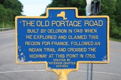
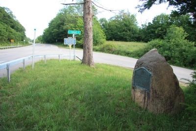
The Old Portage Road
he explored and claimed this
region for France. Followed an
Indian Trail and crossed the
highway at this point in 1753.
Erected 1924 by Paterson Chapter DAR.
Topics and series. This historical marker is listed in these topic lists: Colonial Era • Exploration • War, French and Indian. In addition, it is included in the Daughters of the American Revolution series list. A significant historical year for this entry is 1749.
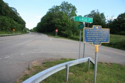
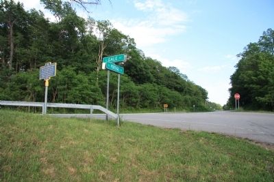
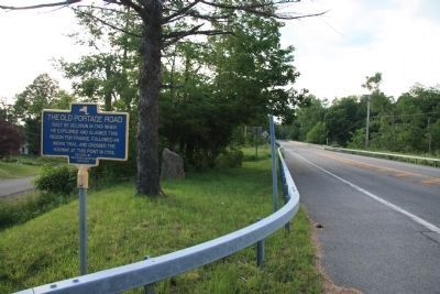
Location. 42° 18.243′ N, 79° 34.184′ W. Marker is in Westfield, New York, in Chautauqua County. Marker is at the intersection of South Portage Road (New York State Route 394) and South Gale Street, on the right when traveling south on South Portage Road. This historic marker is a blue, State of New York, metal marker that is located at the northwest corner of the intersection. Touch for map. Marker is in this post office area: Westfield NY 14787, United States of America. Touch for directions.
Other nearby markers. At least 8 other markers are within 2 miles of this marker, measured as the crow flies. A different marker also named The Old Portage Road (here, next to this marker); At This Point (approx. half a mile away); Harriet Campbell-Taylor House (approx. ¾ mile away); Early Settlers of Portland, Westfield & Ripley (approx. 1.2 miles away); These Concord Grape Vines (approx. 1.2 miles away); First Presbyterian Church and Society (approx. 1.2 miles away); Oldest Settled Property in Chautauqua County (approx. 1.3 miles away); McClurg Park (approx. 1.3 miles away). Touch for a list and map of all markers in Westfield.
Regarding The Old Portage Road. For a long time I have been interested in locating whatever historic markers that I possibly could that where related to the early French exploration of this region, particularly the historic markers that were related to the Celoron expedition of 1749.
Years earlier (back in the days of not having online resources for the purposes of research) I had stopped by the Westfield area and unsuccessfully searched for historic markers related to the French activities in this region. So it was particularly gratifying that with the help of online searches and some assistance from Marybelle Beigh, the Westfield Historian, that I was finally able to located several markers related to this important French Portage that connected the Great Lakes water system to the Mississippi Valley water system.
Also see . . .
1. Old Portage Road. Wikipedia entry (Submitted on December 21, 2021, by Larry Gertner of New York, New York.)
2. A Brief History of Westfield, NY. Town website homepage (Submitted on July 5, 2012, by Dale K. Benington of Toledo, Ohio.)
3. Chautauqua Creek. Wikipedia entry (Submitted on July 5, 2012, by Dale K. Benington of Toledo, Ohio.)
Credits. This page was last revised on December 21, 2021. It was originally submitted on July 5, 2012, by Dale K. Benington of Toledo, Ohio. This page has been viewed 933 times since then and 25 times this year. Photos: 1, 2, 3, 4, 5. submitted on July 5, 2012, by Dale K. Benington of Toledo, Ohio. • Bill Pfingsten was the editor who published this page.
