Fort Laramie in Goshen County, Wyoming — The American West (Mountains)
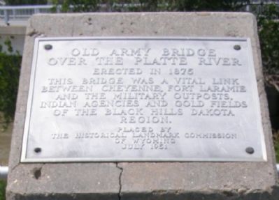
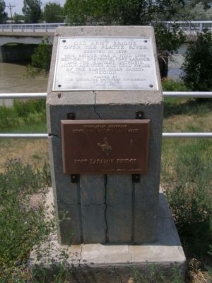
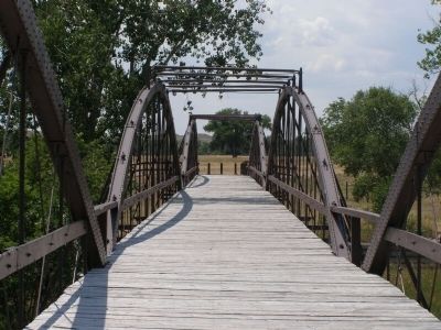
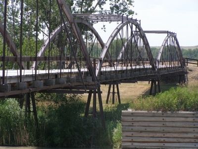
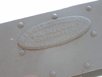
Old Army Bridge Over the Platte River
Erected in 1875. This bridge was a vital link between Cheyenne, Fort Laramie and the Military outposts, Indiana Agencies and gold fields of the Black Hills, Dakota Region.
Placed by The Historical Landmark Commission of Wyoming, June 1951
Erected 1951 by The Historical Landmark Commission of Wyoming.
Topics. This historical marker is listed in these topic lists: Bridges & Viaducts • Military. A significant historical year for this entry is 1875.
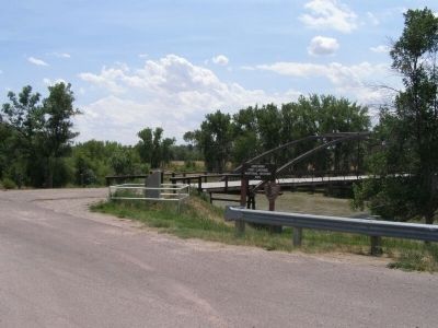
Location. 42° 12.646′ N, 104° 31.997′ W. Marker is in Fort Laramie, Wyoming, in Goshen County. Marker is on State Highway 160. The marker is located just east of Wyoming 160, at the north end of the modern and historic bridges. Touch for map. Marker is in this post office area: Fort Laramie WY 82212, United States of America. Touch for directions.
Other nearby markers. At least 8 other markers are within 2 miles of this marker, measured as the crow flies. Spanning a Century: End of an Era (about 500 feet away, measured in a direct line); Fort Platte (approx. ¼ mile away); Fort Laramie National Historic Site (approx. 0.6 miles away); Mormon Pioneers at Fort Laramie (approx. 0.9 miles away); The Cavalry Stables (approx. 1.2 miles away); Noncommissioned Officers’ Quarters (approx. 1.2 miles away); Handcarts – The New Plan (approx. 1.2 miles away); Post Quartermaster’s Area (approx. 1.2 miles away). Touch for a list and map of all markers in Fort Laramie.
Also see . . . North Platte River Crossing. Nation Park Service website entry (Submitted on April 5, 2023, by Larry Gertner of New York, New York.)
Credits. This page was last revised on April 5, 2023. It was originally submitted on February 25, 2008, by Christopher Light of Valparaiso, Indiana. This page has been viewed 3,547 times since then and 80 times this year. Photos: 1, 2, 3, 4, 5, 6, 7. submitted on February 25, 2008, by Christopher Light of Valparaiso, Indiana. • Craig Swain was the editor who published this page.
