Macon in Jones County, Georgia — The American South (South Atlantic)
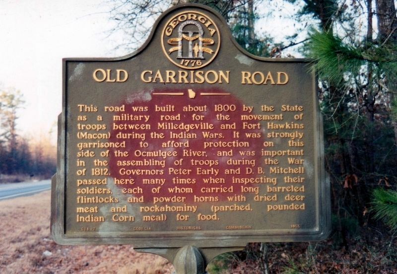
Old Garrison Road
Erected 1957 by Georgia Historical Commission. (Marker Number 084-7.)
Topics and series. This historical marker is listed in these topic lists: Roads & Vehicles • War of 1812 • Wars, US Indian. In addition, it is included in the Georgia Historical Society series list. A significant historical year for this entry is 1800.
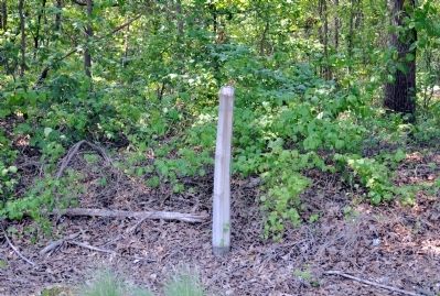
Location. Marker has been reported missing. It was located near 32° 57.229′ N, 83° 27.07′ W. Marker was in Macon, Georgia, in Jones County. Marker was at the intersection of Georgia Route 49 and Georgia Route 18, on the right when traveling south on State Route 49. Touch for map. Marker was in this post office area: Macon GA 31217, United States of America. Touch for directions.
Other nearby markers. At least 8 other markers are within 6 miles of this location, measured as the crow flies. Battle of Griswoldville (approx. 3.2 miles away); Pitts Chapel (approx. 3.3 miles away); The 15th Corps (approx. 3.4 miles away); Target Griswoldville (approx. 5.8 miles away); a different marker also named Battle of Griswoldville (approx. 5.9 miles away); Battle of Griswoldville: (approx. 5.9 miles away); Battle of Griswoldville The Deployment and Assaults (approx. 6 miles away); The Cavalry Skirmish (approx. 6.1 miles away). Touch for a list and map of all markers in Macon.
More about this marker. The marker was last known to be standing in 1996.
The text for the missing marker was taken from “Georgia Historical Markers” (Bay Tree Grove, Second Edition 1978) compiled by Carroll P. Scruggs from the records of the Georgia Historical Commission.
Credits. This page was last revised on October 8, 2020. It was originally submitted on July 26, 2012, by David Seibert of Sandy Springs, Georgia. This page has been viewed 773 times since then and 32 times this year. Photos: 1. submitted on October 7, 2020, by Tim Fillmon of Webster, Florida. 2. submitted on July 26, 2012, by David Seibert of Sandy Springs, Georgia. • Craig Swain was the editor who published this page.

