Fayetteville in Talladega County, Alabama — The American South (East South Central)
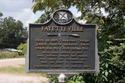
Fayetteville
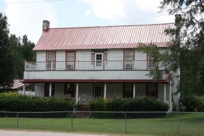
Here in 1814 Tennessee Troops Joined Andrew Jackson's force which won the Creek Indian War.
After Indian removal in 1836 these veterans brought their families here, named this community for their old home in Tennessee. Fayetteville Academy was built in 1850.
Erected 1954 by Alabama Historical Association.
Topics and series. This historical marker is listed in these topic lists: Settlements & Settlers • Wars, US Indian. In addition, it is included in the Alabama Historical Association, and the Former U.S. Presidents: #07 Andrew Jackson series lists. A significant historical year for this entry is 1814.
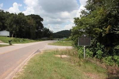
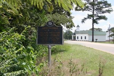
Location. 33° 9.315′ N, 86° 24.205′ W. Marker is in Fayetteville, Alabama, in Talladega County. Marker is at the intersection of Old Fayetteville Road (County Route 34) and Caudies Lake Road, on the right when traveling east on Old Fayetteville Road. Touch for map. Marker is in this post office area: Sylacauga AL 35151, United States of America. Touch for directions.
Other nearby markers. At least 8 other markers are within 9 miles of this marker, measured as the crow flies. To The Memory of General Jackson (approx. 3.2 miles away); Stars Fell On Alabama / Hodges Meteorite (approx. 6.7 miles away); History of Wilsonville, Alabama (approx. 7.3 miles away); Wilsonville Cemetery (approx. 7.3 miles away); Confederate Forts (approx. 7.7 miles away); Marble City Cemetery Sylacauga (approx. 8.4 miles away); De Soto's Visit (approx. 8.8 miles away); The De Soto Trail / Chief Coosa And His Dominion (approx. 8.8 miles away).
Credits. This page was last revised on June 16, 2016. It was originally submitted on July 30, 2012, by Timothy Carr of Birmingham, Alabama. This page has been viewed 780 times since then and 38 times this year. Photos: 1, 2, 3, 4, 5. submitted on July 30, 2012, by Timothy Carr of Birmingham, Alabama. • Craig Swain was the editor who published this page.
