Childersburg in Talladega County, Alabama — The American South (East South Central)
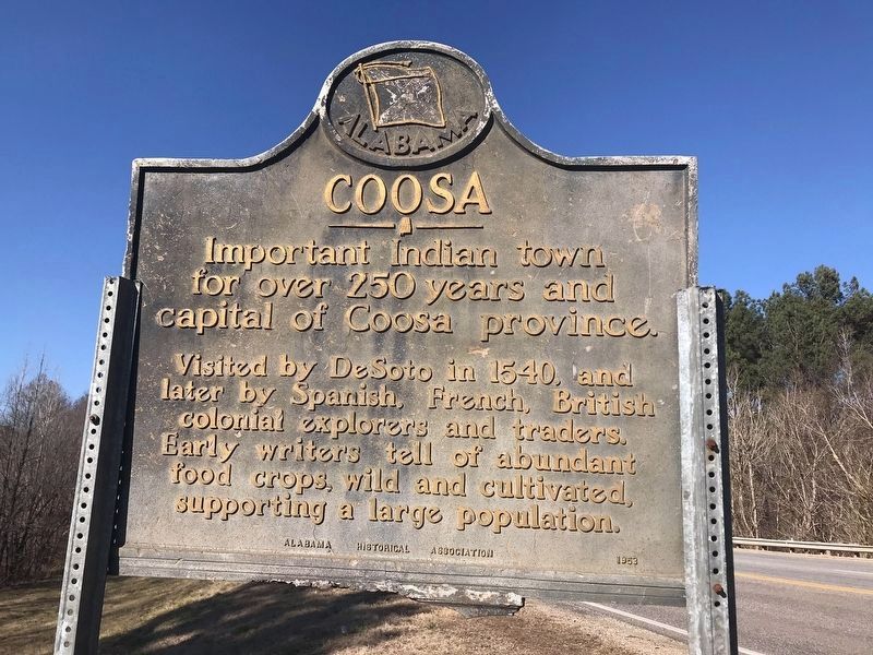
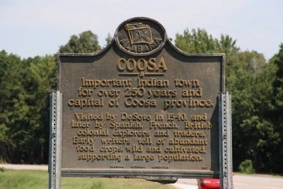
Coosa
Important Indian town for over 250 years and capital of Coosa province.
Visited by DeSoto in 1540, and later by Spanish, French, British colonial explorers and traders. Early writers tell of abundant food crops, wild and cultivated, supporting a large population.
Erected 1953 by Alabama Historical Association.
Topics. This historical marker is listed in these topic lists: Exploration • Native Americans. A significant historical year for this entry is 1540.
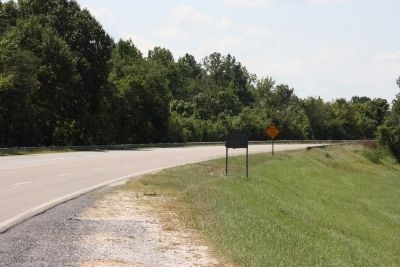
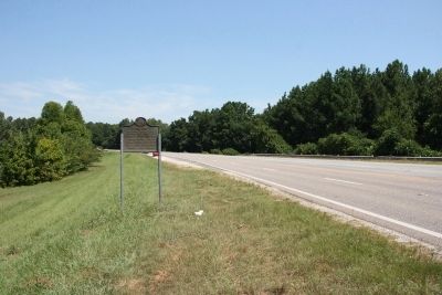
Location. 33° 18.528′ N, 86° 21.282′ W. Marker is in Childersburg, Alabama, in Talladega County. Marker is on Plant Road (Alabama Route 235 at milepost 2), on the left when traveling north. Touch for map. Marker is in this post office area: Childersburg AL 35044, United States of America. Touch for directions.
Other nearby markers. At least 8 other markers are within 8 miles of this marker, measured as the crow flies. History Of Childersburg (approx. 2.1 miles away); The De Soto Trail / Chief Coosa And His Dominion (approx. 2.2 miles away); De Soto's Visit (approx. 2.2 miles away); DeSoto Caverns (approx. 4.4 miles away); Harpersville Garden of Memories (approx. 5.2 miles away); Historic Harpersville (approx. 5.3 miles away); Town of Vincent (approx. 6.2 miles away); Confederate Forts (approx. 7.8 miles away). Touch for a list and map of all markers in Childersburg.
Credits. This page was last revised on December 22, 2022. It was originally submitted on July 30, 2012, by Timothy Carr of Birmingham, Alabama. This page has been viewed 856 times since then and 39 times this year. Photos: 1. submitted on December 18, 2022, by William Burleson of Birmingham, Alabama. 2, 3, 4. submitted on July 30, 2012, by Timothy Carr of Birmingham, Alabama. • Craig Swain was the editor who published this page.


