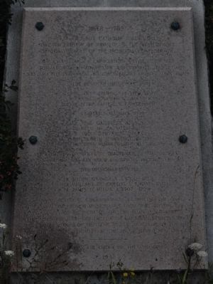
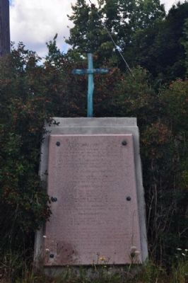
1668-1709
The Chapel of La Conception was built in 1668 at Totiakton (near Rochester Junction) St. Jean Chapel was erected in 1669 at Gandachiragou on the Lima Road.
The resident missionaries were:
Fr. James Fremin, S. J. (1668-1670)
Fr. Julien Garnier, S. J. (1669-1683)
Fr. Peter Raffiex, S. J. (1672-1680)
Notable Visitors were
Fr. Rene Galinee, S. S. (1669)
Le. Sieur de la Salle (1669)
Fr. James Bruyas S. J. (1673)
Wentworth Greenhalg (1677)
Fr. Louis Hennepin, Recollet (1679)
After the destruction by Denonville's Army in 1687 a new village was founded on Spring Brook (near by)
The Missionaries were:
Fr. Julien Garnier, S. J. (1701-1703)
Fr. Vaillant de Gueslis, S. J. (1702-1707)
Fr. James D. Heu, S. J. (1707-1709)
When political circumstances compelled the final withdrawal of French missionaries from this region, the ministrations of religion to the Christian Indians were continued through contacts with Canadian missions, where many descendants of the Senecas still persevere in the faith brought to this locality by the above named men of God.
Erected 1933 by
Topics. This historical marker is listed in these topic lists: Churches & Religion • Colonial Era • Native Americans • Settlements & Settlers. A significant historical year for this entry is 1668.
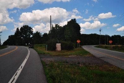
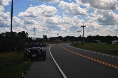
Location. 42° 56.742′ N, 77° 36.728′ W. Marker is in Lima, New York, in Livingston County. Marker is on Rush-Lima Road (New York State Route 15A) near Rochester Street (New York State Route 15A), in the median. The "intersection" is a fork in the road where both branches have the new name of the street. The road that crosses both of these about 1/10 mile north is Honeyoye Falls road no. 6. Touch for map. Marker is in this post office area: Lima NY 14485, United States of America. Touch for directions.
Other nearby markers. At least 8 other markers are within 3 miles of this marker, measured as the crow flies. Mendon Town Hall (approx. 1.1 miles away); Site of Mill (approx. 1.1 miles away); Charles A. Goheen (approx. 1˝ miles away); Honeoye Falls Cemetery / Community History (approx. 1.6 miles away); Ruland Homestead (approx. 1.9 miles away); Totiakton (approx. 2.3 miles away); Hickory Hill (approx. 2˝ miles away); Genesee Wesleyan Seminary (approx. 2.6 miles away).
Credits. This page was last revised on June 16, 2016. It was originally submitted on August 6, 2012, by Yugoboy of Rochester, New York. This page has been viewed 799 times since then and 30 times this year. Photos: 1, 2, 3, 4. submitted on August 6, 2012, by Yugoboy of Rochester, New York. • Bill Pfingsten was the editor who published this page.


