Covington in Kenton County, Kentucky — The American South (East South Central)
Civil War Fortifications
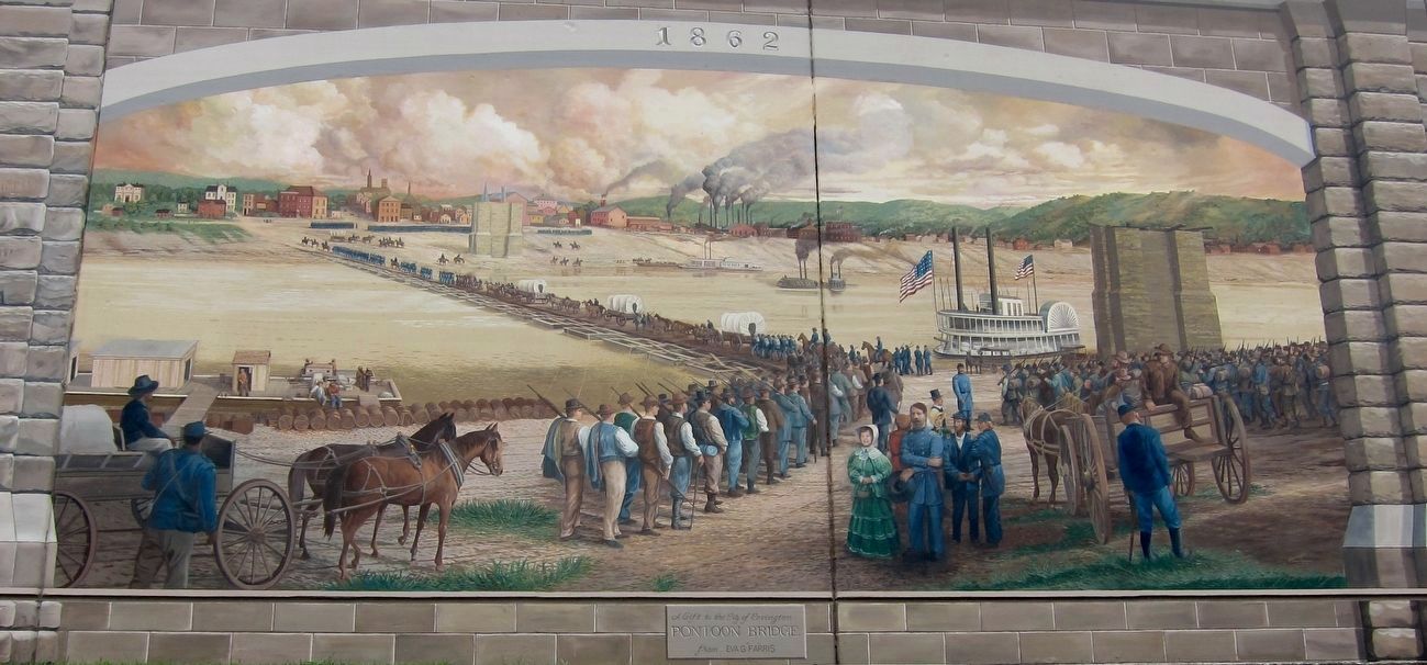
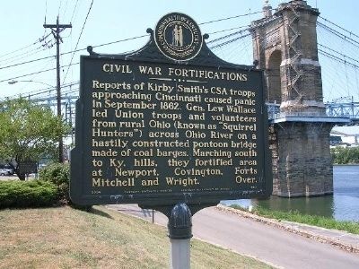
Reports of Kirby Smith's CSA troops approaching Cincinnati caused panic in September 1862. Gen. Lew Wallace led Union troops and volunteers from rural Ohio (known as "Squirrel Hunters")across Ohio River on a hastily constructed pontoon bridge made of coal barges. Marching south to Ky. hills, they fortified area at Newport, Covington, Forts Mitchell and Wright. Over.
(Side 2):
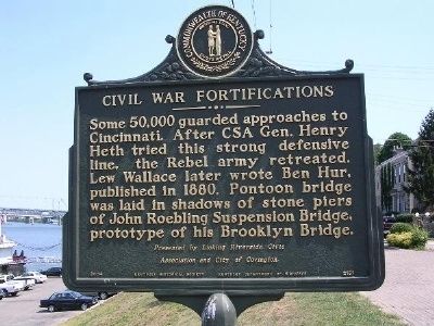
Some 50,000 guarded approaches to Cincinnati. After CSA Gen. Henry Heth tried this strong defensive line, the Rebel army retreated. Lew Wallace later wrote Ben Hur, published in 1880. Pontoon bridge was laid in shadows of stone piers of John Roebling Suspension Bridge, prototype of his Brooklyn Bridge.
Erected by Licking Riverside Civic Association and City of Covington. (Marker Number 2151.)
Topics. This historical marker is listed in this topic list: War, US Civil. A significant historical month for this entry is September 1862.
Location. 39° 5.461′ N, 84° 30.493′ W. Marker is in Covington, Kentucky, in Kenton County. Marker is on Riverside Drive, on the right when traveling west. The marker is located along the Ohio River to the east of the John A. Roebling Suspension Bridge (Highway 17) which can be seen in the background in the photograph of Side 1 of the marker. Parking is available along Riverside Drive and in an adjacent parking lot next to the river. Touch for map. Marker is in this post office area: Covington KY 41011, United States of America. Touch for directions.
Other nearby markers. At least 8 other markers are within walking distance of this marker. Roebling Suspension Bridge (within shouting distance of this marker); Ben Lucien Burman (within shouting distance of this marker); John A. Roebling Bridge (about 400 feet away, measured in a direct line); Simon Kenton (about 400 feet away); a different marker also named Simon Kenton (about 400 feet away); Northern Kentucky Heritage League (about 400 feet away); The Point (about 400 feet away); Great Neighborhoods / Riverwalk Statues (about 500 feet away). Touch for a list and map of all markers in Covington.

Mural by Robert Dafford Murals of Lafayette, Louisiana, April 27, 2016
3. Bridge
Mural depicting the march south over the pontoon bridge, as noted by the marker. Note the bridge piers of the yet-to-be completed Roebling Suspension Bridge. This mural is located on west side of the bridge and is part of the set of Roebling Murals attached to a large retaining wall along the Covington Riverfront (i.e. a 2-minute walk from the marker).
Credits. This page was last revised on March 26, 2019. It was originally submitted on August 7, 2012. This page has been viewed 802 times since then and 36 times this year. Photos: 1, 2. submitted on August 7, 2012. 3. submitted on September 25, 2016. • Craig Swain was the editor who published this page.

