St. Elizabeths in Southeast Washington in Washington, District of Columbia — The American Northeast (Mid-Atlantic)
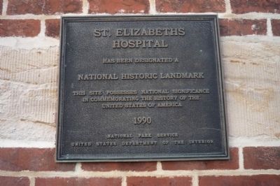
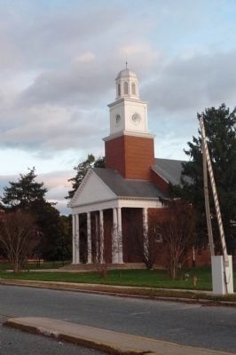
St. Elizabeths Hospital
Hospital
has been designated a
National Historic Landmark
This site possesses national significance
in commemorating the history of the
United States of America.
Erected 1990.
Topics and series. This historical marker is listed in these topic lists: Cemeteries & Burial Sites • Science & Medicine • War, US Civil. In addition, it is included in the National Historic Landmarks series list.
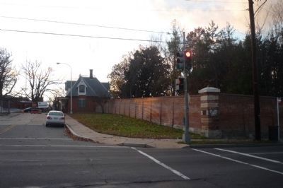
Location. 38° 51.311′ N, 76° 59.771′ W. Marker is in Southeast Washington in Washington, District of Columbia. It is in St. Elizabeths. Marker is on Martin Luther King Jr. Avenue Southeast south of Pomeroy Road Southeast, on the left when traveling north. Marker is on the wall support near the crosswalk at the northwest corner of the intersection of MLK, Jr. Avenue and the facility's West Campus, Gate One access road, Golden Raintree Drive. Touch for map. Marker is at or near this postal address: 2701 Martin Luther King Jr Avenue Southeast, Washington DC 20032, United States of America. Touch for directions.
Other nearby markers. At least 8 other markers are within walking distance of this marker. The Curative Powers of Nature (about 600 feet away, measured in a direct line); Redevelopment of St. Elizabeths (approx. 0.2 miles away); History of St. Elizabeths Hospital (approx. 0.2 miles away); Grandpapa's Farm (approx. 0.2 miles away); Hillsdale (approx. ¼ mile away); Campbell African Methodist Episcopal Church (approx. 0.3 miles away); Barry Farm Dwellings (approx. 0.3 miles away); Roads That Divide (approx. 0.3 miles away). Touch for a list and map of all markers in Southeast Washington.
More about this marker. Gate One is midway between the Suitland Parkway and Malcolm X Drive, east of the Anacostia Freeway (I-295). Note that the facility's West Campus is presently closed to the public due to the extensive reconstruction in progress to accommodate the new headquarters of the Department of Homeland Security. The East Campus (now administered by the D.C. Dept. of Mental Health and also undergoing renovation) is accessible from the gate at 1100 Alabama Avenue, SE
Related marker. Click here for another marker that is related to this marker. To better understand the relationship, study each marker in the order shown.
Also see . . . St. Elizabeths Hospital. (Submitted on November 27, 2009, by Richard E. Miller of Oxon Hill, Maryland.)
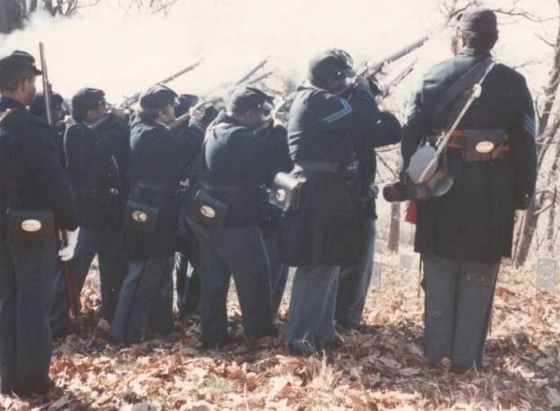
Additional keywords. St. Elizabeth's; Government Hospital for the Insane; mental illness; Civil War Cemetery; USCT; DHS; Dept. of Homeland Security.
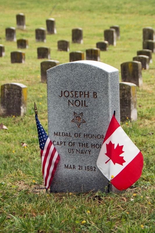
Photographed By Don Morfe, April 29, 2016
7. Joseph B. Noil-Medal of Honor Recipient-grave marker
He is buried in St. Elizabeth Hospital Cemetery, East Campus, Section 3, Row 3, Site 535. His Medal of Honor information and citation is: NOIL, JOSEPH B.
• Rank and organization: Seaman, U.S. Navy
• Accredited to: New York
Citation: Serving on board the U.S.S. Powhatan at Norfolk, 26 December 1872, Noil saved Boatswain J. C. Walton from drowning.
:
Credits. This page was last revised on January 30, 2023. It was originally submitted on November 27, 2009, by Richard E. Miller of Oxon Hill, Maryland. This page has been viewed 2,247 times since then and 23 times this year. Last updated on August 11, 2012, by Richard E. Miller of Oxon Hill, Maryland. Photos: 1. submitted on November 27, 2009, by Richard E. Miller of Oxon Hill, Maryland. 2, 3, 4. submitted on November 28, 2009, by Richard E. Miller of Oxon Hill, Maryland. 5. submitted on October 31, 2010, by Richard E. Miller of Oxon Hill, Maryland. 6. submitted on August 11, 2012, by Richard E. Miller of Oxon Hill, Maryland. 7. submitted on June 24, 2017, by Don Morfe of Baltimore, Maryland. • Craig Swain was the editor who published this page.
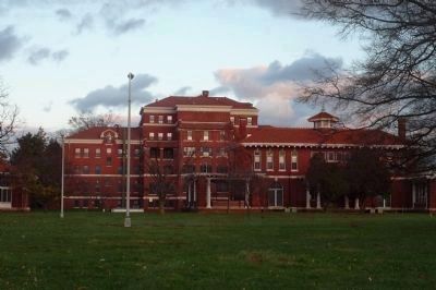
![St. Elizabeths Hospital: site of the new Dept. of Homeland Security [DHS] headquarters. Click for full size. St. Elizabeths Hospital: site of the new Dept. of Homeland Security [DHS] headquarters image. Click for full size.](Photos2/214/Photo214997.jpg?826201225300PM)