Central Omaha in Douglas County, Nebraska — The American Midwest (Upper Plains)
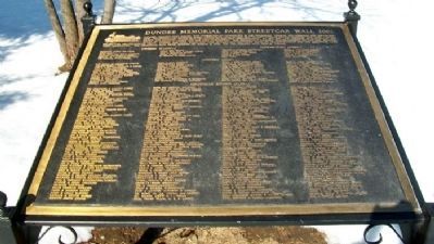
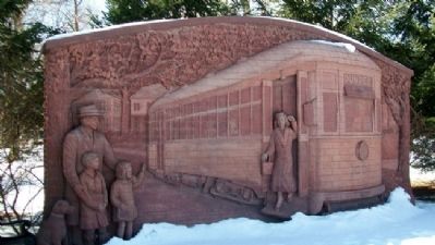
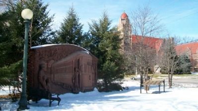
Dundee Memorial Park Streetcar Wall
Inscription.
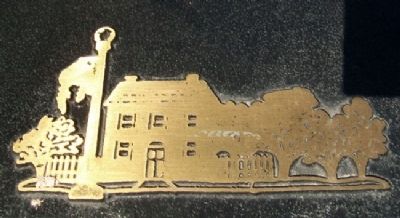
Dundee, Omaha's first suburb, was connected to downtown by the streetcar. Dundee was literally the end-of-the-line. The streetcars reversed their course just west of this site. In 1891, a steam driven "trolley" and then a horse-drawn car brought people free of charge to the new neighborhood. In 1892, the line changed to electricity and began to charge a nickel for the ride downtown. The streetcar's reliable transportation to jobs and shopping helped the neighborhood grow. During the 1950s, buses and cars became the preferred mode of transportation and the streetcar lines were abandoned. The streetcar ride from Dundee on March 4, 1955, was the official last ride in Omaha.
Erected 2002 by Concerned Individuals and Organizations.
Topics. This historical marker is listed in these topic lists: Railroads & Streetcars • Roads & Vehicles • Settlements & Settlers. A significant historical date for this entry is March 4, 1955.
Location. 41° 15.893′ N, 95° 59.806′ W. Marker is in Omaha, Nebraska, in Douglas County. It is in Central Omaha. Marker is at the intersection of Underwood Avenue and Happy Hollow Boulevard, on the left when traveling west on Underwood Avenue. Touch for map. Marker is at or near this postal address: 5312 Underwood Avenue, Omaha NE 68132, United States of America. Touch for directions.
Other nearby markers. At least 8 other markers are within 3 miles of this marker, measured as the crow flies. Jan Rosicky (approx. 1.7 miles away); Veterans Memorial (approx. 1.9 miles away); Omaha (approx. 2 miles away); Historic Prospect Hill -- Omaha's Pioneer Cemetery (approx. 2.1 miles away); Andrew Jackson Poppleton (approx. 2.1 miles away); William Davis Brown (approx. 2.1 miles away); Alfred Sorenson (approx. 2.1 miles away); John Wesley Nichols (approx. 2.1 miles away). Touch for a list and map of all markers in Omaha.
Credits. This page was last revised on February 16, 2023. It was originally submitted on August 12, 2012, by William Fischer, Jr. of Scranton, Pennsylvania. This page has been viewed 809 times since then and 52 times this year. Photos: 1, 2, 3, 4. submitted on August 12, 2012, by William Fischer, Jr. of Scranton, Pennsylvania.


