Lexington, Virginia — The American South (Mid-Atlantic)
Jordanís Point
ďA day I will never forgetÖĒ Margaret Junkin Preston diary, June 12, 1864
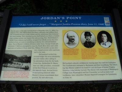
On this spot, in the early morning hours of Saturday, June 11, 1864, Confederate General John McCausland and about 1,500 gray-clad soldiers lined the riverbank between a cedar thicket and the warehouses that cluttered the canal landing. They stretched up the bluff behind you where a Confederate artillery section was located. By mid-morning, General David Hunterís 18,000 Union infantry and artillery occupied the hillside across the river in front of you, en route to Lynchburg to destroy the railroad facilities there. Two of Hunterís infantry divisions under Generals George Crook and Jeremiah C. Sullivan attempted to cross the North River here and a mile upstream at Leyburnís Ford, while Geneneral William W. Averillís cavalry division crossed several miles upstream and to the west.
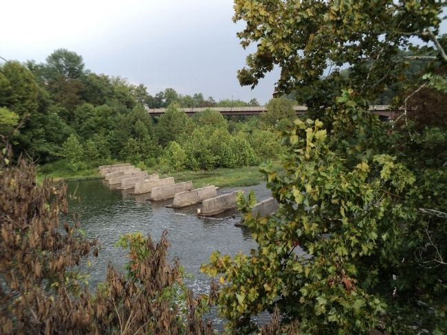
McCausland torched the covered bridge (the stone abutments are still visible) after calling in his skirmishers from the far bank. Union Gen. Rutherford B. Hayes, later our nineteenth president, commanded the first Federals to arrive on the opposite bank. Several hours of skirmishing followed while Hunterís forces consolidated their position. By mid-afternoon, McCausland ordered a withdrawal, leaving open the road to Lexington. The Confederates retreated to Buchanan and then Lynchburg. The following day, Hunter ordered the Institute and the home of former Virginia Governor John Letcher burned. The library and classrooms of Washington College (now Washington and Lee University) as well as many local residences, were ransacked. Hunter departed Lexington for Lynchburg on June 14.
Erected by Virginia Civil War Trails.
Topics and series. This historical marker is listed in this topic list: War, US Civil. In addition, it is included in the Virginia Civil War Trails series list. A significant historical date for this entry is June 11, 1913.
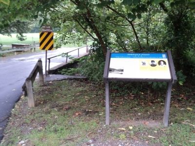
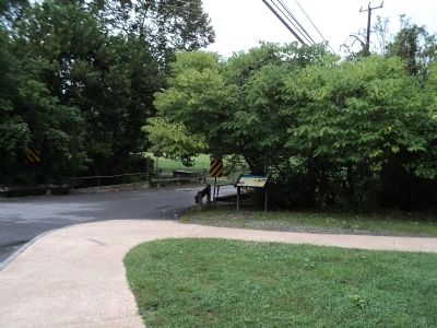
Location. 37° 47.536′ N, 79° 25.766′ W. Marker is in Lexington, Virginia. Marker is at the intersection of Moses Mill Road (Stono Lane) and Saunders Drive (Woods Creek Service Road), on the right when traveling north on Moses Mill Road (Stono Lane). Marker is located in Jordanís Point Park. Touch for map. Marker is in this post office area: Lexington VA 24450, United States of America. Touch for directions.
Other nearby markers. At least 8 other markers are within walking distance of this marker. Colonel Claudius Crozet (approx. ľ mile away); Virginia Military Institute (approx. ľ mile away); a different marker also named Virginia Military Institute (approx. 0.3 miles away); VMI World War II Memorial (approx. 0.3 miles away); George Washington (approx. 0.3 miles away); Jacksonís Classroom (approx. 0.4 miles away); Virginia Military Institute Historic District (approx. 0.4 miles away); Barracks † † The Virginia Military Institute (approx. 0.4 miles away). Touch for a list and map of all markers in Lexington.
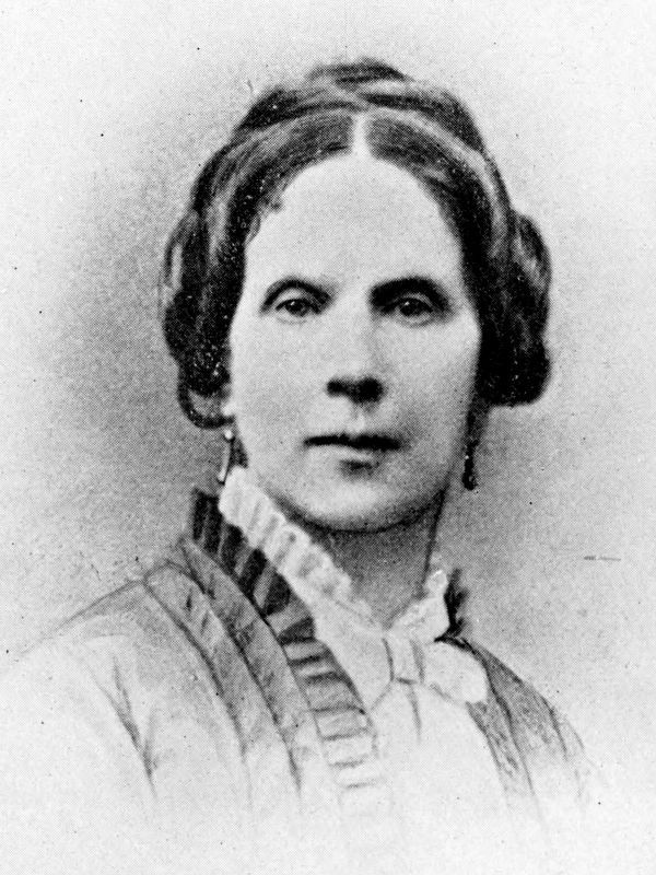
More about this marker. Three portraits appear at the top right of the marker. The first one, of Gen. McCausland, has a caption of “Gen. John McCausland (Virginia Military Institute class of 1857), burned Chambersburg, Pa., on July 30, 1864, in retaliation for the damage Hunter inflicted.” Next to this is Gen. Hunter with the caption “Gen. David Hunter (West Point class of 1822) took command of the Union forces in the Shenandoah Valley only three weeks before arriving in Lexington. He later sat on the military commission that tried the Lincoln assassination conspirators.” The last is of Margaret Preston and includes the caption “Margaret Junkin Preston, daughter of Washington Collegeís president, wife of John Preston (a founder of VMI), and sister-in-law of Stonewall Jackson.”
A photography of a canal boat appears at the lower left of the marker. It has a caption of “Jordanís Point, late 1865, from opposite bank. Stono, John Jordanís 1818 Classical Revival house is on the left and the ruins of VMI are on the right. The packet boat is believed to be the Marshall, which brought Stonewall Jacksonís body back to Lexington in 1863.”
Additional commentary.
1. Old covered bridge
Not to be disrespectful of your info but merely to help with facts . The picture shown of the concrete imbuttments across the river are actually the pier foundations for the railroad bridge that used to be here . The covered bridge imbuttments are probably what you walked up onto to take this picture . The bridge itself spanned the river from bank to bank over the dam which was part of the canal system . The covered bridge was rebuilt after the war and remained in service until approx. 1932 . The railroad bridge was in service until the flood of 1969 which ended rail service to Lexington permanately .
— Submitted December 22, 2012, by John Calhoun of Charlotte, North Carolina.
Credits. This page was last revised on May 9, 2021. It was originally submitted on August 20, 2012, by Bill Coughlin of Woodland Park, New Jersey. This page has been viewed 1,142 times since then and 35 times this year. Photos: 1, 2, 3, 4. submitted on August 20, 2012, by Bill Coughlin of Woodland Park, New Jersey. 5. submitted on January 15, 2021, by Allen C. Browne of Silver Spring, Maryland.
