Near Great Cacapon in Morgan County, West Virginia — The American South (Appalachia)
Engagement at Great Cacapon
Struggle in the Snow
— Jackson's Bath-Romney Campaign —
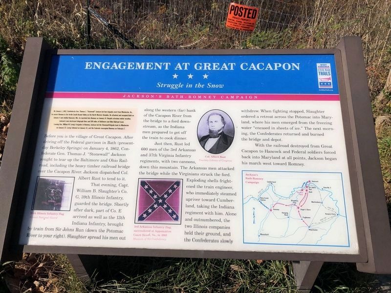
On January 1, 1862, Confederate Gen. Thomas J. "Stonewall" Jackson led four brigades west from Winchester, Va., to secure Romney in the fertile South Branch Valley on the North Western Turnpike. He attacked and occupied Bath on January 4 and shelled Hancock, Md.; he marched into Romney on January 14. Despite atrocious winter weather, Jackson's men destroyed telegraph lines and 100 miles of Baltimore and Ohio Railroad track. Leaving Gen. William W. Loring's brigades in Romney, Jackson led the Stonewall Brigade back to Winchester on January 23. Loring followed on January 31, and the Federals reoccupied Romney on February 7.
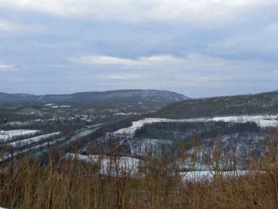
Before you is the village of Great Cacapon. After driving off the Federal garrison in Bath (present day Berkeley Springs) on January 4, 1862, Confederate Gen. Thomas J. “Stonewall” Jackson sought to tear up the Baltimore and Ohio Railroad, including the heavy timber railroad bridge over the Cacapon River. Jackson dispatched Col. Albert Rust to tend to it.
That evening, Capt. William B. Slaughter’s Co. G, 39th Illinois Infantry, guarded the bridge. Shortly after dark, part of Co. E arrived as well as the 13th Indiana Infantry, brought by train from Sir Johns Run (down the Potomac River to your right). Slaughter spread his men out along the western (far) bank of the Cacapon River from the bridge to a ford down-stream, as the Indiana men prepared to get off the train to cook dinner.
Just then, Rust led 600 men of the 3rd Arkansas and 37th Virginia Infantry regiments, with two cannons, down this mountain. The Arkansas men attacked the bridge while the Virginians struck the ford. Exploding shells frightened the train engineer, who immediately steamed upriver toward Cumberland, taking the Indiana regiment with him. Alone and outnumbered, the two Illinois companies held their ground, and the Confederates slowly withdrew. When fighting stopped, Slaughter ordered a retreat across the Potomac into Maryland, where his men emerged from the freezing water “encased in sheets of ice.” The next morning, the Confederates returned and burned the bridge and depot.
With the railroad destroyed from Great Cacapon to Hancock, and Federal soldiers forced back into Maryland at all points, Jackson began his march west to Romney.
Erected by West Virginia Civil War Trails.
Topics and series. This historical marker is listed in these topic lists: Railroads & Streetcars • War, US Civil. In addition, it is included in the Baltimore and Ohio Railroad (B&O), and the West Virginia Civil War Trails series lists. A significant historical month for this entry is January 1862.
Location. 39°

Photographed By Devry Becker Jones (CC0), November 6, 2020
2. Engagement at Great Cacapon Marker
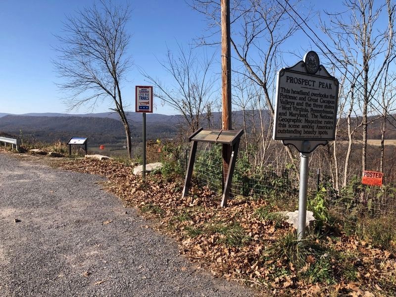
The marker is the leftmost visible marker on the photo.
Other nearby markers. At least 8 other markers are within 2 miles of this marker, measured as the crow flies. Panorama Overlook (a few steps from this marker); Prospect Peak (within shouting distance of this marker); Tuscarora (Clinton) Sand (within shouting distance of this marker); Sir John's Run (approx. 1.4 miles away); Great Cacapon (approx. 1.4 miles away); Frederick Duckwall, Jr. (approx. 1.6 miles away); Daniel of St. Thomas Jenifer / Robert Townsen Hose (approx. 1.6 miles away); Windel Freshour (approx. 1.6 miles away). Touch for a list and map of all markers in Great Cacapon.
Credits. This page was last revised on November 7, 2020. It was originally submitted on August 22, 2012, by Don Morfe of Baltimore, Maryland. This page has been viewed 1,339 times since then and 80 times this year. Photos: 1, 2. submitted on November 7, 2020, by Devry Becker Jones of Washington, District of Columbia. 3. submitted on January 7, 2013, by Linda Walcroft of Woodstock, Virginia. • Craig Swain was the editor who published this page.

