Shepherdstown in Jefferson County, West Virginia — The American South (Appalachia)
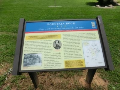
Fountain Rock
"Crows… will have to carry their provender with them"
— 1864 Valley Campaign —
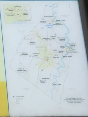
The Federal offensive in the Shenandoah Valley begun in May 1864 faltered in the summer with Confederate victories and Gen. Jubal A. Early's Washington Raid in July. Union Gen. Philip H. Sheridan took command in August, defeated Early at Winchester in September and Cedar Creek in October, burned mills and barns, and crushed the remnants of Early's force at Waynesboro on March 2, 1865. Sheridan's victories contributed to President Abraham Lincoln's reelection in November 1864 and denied Gen. Robert E. Lee's army much-needed provisions from the "Breadbasket of the Confederacy."
In 1864, the conduct of the Civil War in the Shenandoah Valley, the “Breadbasket of the Confederacy” and an avenue of invasion, underwent significant change. Union Gen. Ulysses S. Grant was determined to eliminate the Valley as a source of food for the Confederate Army. He ordered Gen. David Hunter, commanding the Federal army in the Valley, “to eat out Virginia clear and clean as far as they go, so that crows flying over it for the balance of this season will have to carry their provender with them.” Unfortunately for the Valley’s residents, farm fields and livestock were not the only objects of Hunter’s attention.
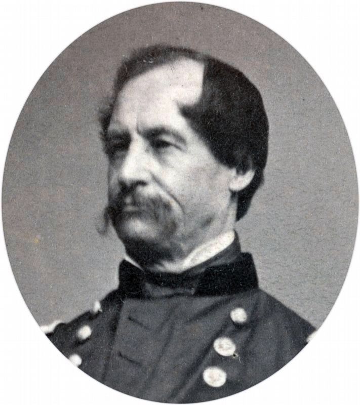
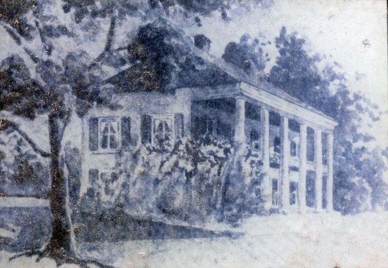
On July 19, 1864, Capt. Franklin Martindale and a detachment of the 1st New York Cavalry rode from Harpers Ferry to this spot. Martindale had come to burn Fountain Rock, a beautiful native limestone house built in 1834 for Dr. Henry Boteler, in partial retaliation for Gen. Jubal A. Early's burning of the Maryland governor’s house. By 1864, Fountain Rock was the home of Boteler’s son, Alexander Robinson Boteler, who served as an aide on the staff of Gen. J.E.B. Stuart and also was a member of the Confederate Congress.
Boteler’s two daughters were at Fountain Rock when Martindale appeared. He ordered them to leave the house and then set the place ablaze, destroying the house as well as Boteler’s library and his valuable collection of letters that chronicled the early history of the Lower Shenandoah Valley. The only items that were saved were the leather-bound volumes of the Congressional Record.
(Sidebar):
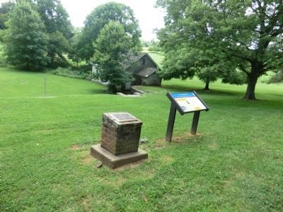
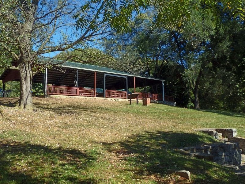
In the 1920s, the ruins of Fountain Rock were removed and first a pavilion and then a barn were built here. The Shepherdstown Men's Club acquired the property in 1961. Four years later, the club erected the present picnic pavilion where Fountain Rock once looked out on the Blue Ridge Mountains.
Erected by West Virginia Civil War Trails.
Topics and series. This historical marker is listed in this topic list: War, US Civil. In addition, it is included in the West Virginia Civil War Trails series list. A significant historical month for this entry is March 1849.
Location. 39° 25.302′ N, 77° 49.272′ W. Marker is in Shepherdstown, West Virginia, in Jefferson County. Marker is at the intersection of Kearneysville Pike (State Highway 480) and Sweaningen Way on Kearneysville Pike. Located in Morgan Grove Park. Touch for map. Marker is at or near this postal address: 4196 Kearneysville Pike, Shepherdstown WV 25443, United States of America. Touch for directions.
Other nearby markers. At least 8 other markers are within walking distance of this marker. Shepherdstown Rally Point (here, next to this marker); Spirit of 1775 (approx. 0.7 miles away); Elmwood Cemetery (approx. 0.7 miles away); Elmwood Cemetery Vault (approx. 0.7 miles away); Memorial To Confederate Soldiers (approx. 0.7 miles away); Welcome to the Confederate Cemetery (approx. 0.7 miles away); Confederate Dead (approx. 0.7 miles away); Confederate Soldiers in Elmwood Cemetery / Colonel Henry Kyd Douglas (approx. 0.7 miles away). Touch for a list and map of all markers in Shepherdstown.
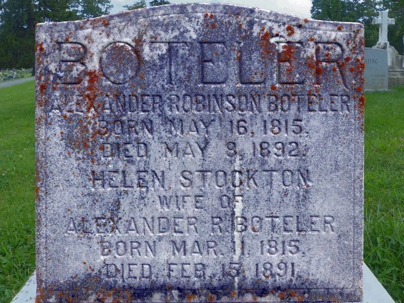
Regarding Fountain Rock. Born and died dates for Alexander Boteler are not correct. The dates in the verbiage should be the dates shown on his tombstone.
Photographed By Allen C. Browne, August 27, 2017
7. Alexander Boteler's Grave
In Elmwood Cemetery
In Elmwood Cemetery
Alexander Robinson Boteler
Born May 16, 1815
Died May 8, 1815
Helen Stockton
Wife of
Alexander R. Boteler
Born Mar. 11, 1815
Died Feb. 15, 1891
The “Confederate Soldiers in Elmwood Cemetery” marker (HMdB #12067) says this of Alexander Boteler:
“Alexander R. Boteler both a United States and Confederate Congressman, political confident of Gen. Jackson and designer of the Seal of the Confederacy”
Credits. This page was last revised on May 20, 2021. It was originally submitted on August 23, 2012, by Don Morfe of Baltimore, Maryland. This page has been viewed 1,156 times since then and 64 times this year. Last updated on December 5, 2020, by Carol Riggleman of Martinsburg, West Virginia. Photos: 1. submitted on August 23, 2012, by Don Morfe of Baltimore, Maryland. 2. submitted on September 10, 2012, by Don Morfe of Baltimore, Maryland. 3. submitted on August 23, 2012, by Don Morfe of Baltimore, Maryland. 4, 5, 6, 7. submitted on October 2, 2017, by Allen C. Browne of Silver Spring, Maryland. • Devry Becker Jones was the editor who published this page.
