Moorefield in Hardy County, West Virginia — The American South (Appalachia)
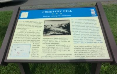
Cemetery Hill
Fighting Among the Tombstones
Union Maj. Edward W. Stephens, Jr., with six companies of the 1st West Virginia Infantry and a company of cavalry, were ordered to this area on September 10, 1863, to surprise a Confederate camp on the South Branch. When Stephens bivouacked and entrenched here that night, however, he was the one surprised. Just before dawn on September 11, Capts. John H. McNeill, George W. Imboden and McNarey Hobson led an attack that overran Stephens’s position. The Confederates captured 8 officers and 152 enlisted infantrymen and cavalrymen, and seized two ambulances, 9 wagons, 46 horses, 123 rifles, 112 pistols, and 10,500 rounds of ammunition.
A Union officer at first refused to surrender to a Confederate private named Mark Westmoreland. But he changed his mind when the soldier leveled his carbine and pointed out that it equalized their ranks.
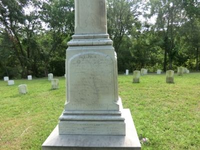
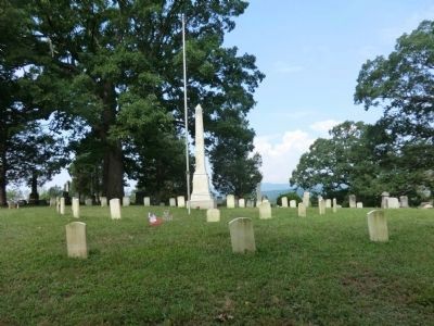
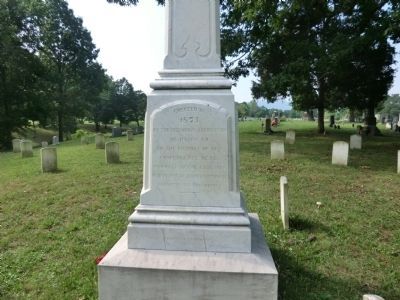
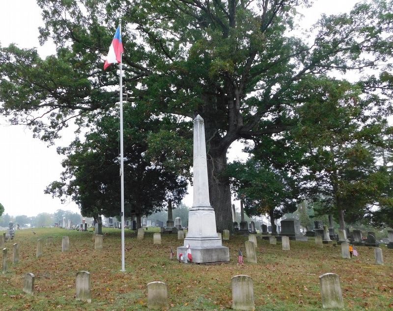
After the war, the cemetery was expanded gradually to forty acres and named Olivet. An obelisk erected in 1873 honors Confederate war dead buried here, including McNeill, although it is uncertain whether his remains were reinterred here from Harrisonburg. Oak Hill Cemetery, across the drive to your left, contains the graves of slaves, former slaves and their descendants.
"The enemy picketed every road leading to their intrenched camp, and deployed about 50 ... skirmishers ... all night, several hundred yards from their works, and sent out two companies to surprise our camp. Our men moved noiselessly in the darkness, flanked the enemys pickets, and succeeded in getting between the line of skirmishers and the camp before daybreak on Friday morning, the 11th. Just as dawn appeared they charged the Yankee camp, firing into the tents and yelling like savages. Some resistance was made, but in a short time the fight was over. About 30 Yankees were killed or too badly wounded to be removed." - Confederate Gen. John D. Imboden, Sept. 13, 1863
Erected by West Virginia Civil War Trails.
Topics and series. This historical marker is listed in this topic list: War, US Civil. In addition, it is included in the West Virginia Civil War Trails series list. A significant historical month for this entry is September 1869.
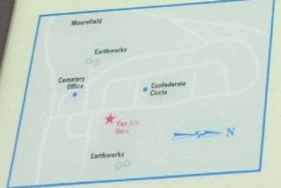
Location. This marker has been replaced by another marker nearby. It was located near 39° 3.771′ N, 78° 57.689′ W. Marker was in Moorefield, West Virginia, in Hardy County. Marker was at the intersection of Olivet Drive and Paskell Hill Drive on Olivet Drive. Located in Olivet Cemetery. Touch for map. Marker was at or near this postal address: 192 Olivet Drive, Moorefield WV 26836, United States of America. Touch for directions.
Other nearby markers. At least 8 other markers are within walking distance of this location. A different marker also named Cemetery Hill (here, next to this marker); Veterans Memorial (a few steps from this marker); Confederate Memorial (about 400 feet away, measured in a direct line); Olivet Cemetery (about 600 feet away); Hardy County's First Court House (approx. 0.3 miles away); Moorefield (approx. 0.4 miles away); S. A. McMechen House (approx. 0.4 miles away); McMechen House (approx. 0.4 miles away). Touch for a list and map of all markers in Moorefield.
Related marker. Click here for another marker that is related to this marker. This marker has been replaced by the linked marker.
Credits. This page was last revised on January 28, 2021. It was originally submitted on August 23, 2012, by Don Morfe of Baltimore, Maryland. This page has been viewed 1,066 times since then and 25 times this year. Photos: 1. submitted on August 23, 2012, by Don Morfe of Baltimore, Maryland. 2. submitted on August 29, 2012, by Don Morfe of Baltimore, Maryland. 3. submitted on September 10, 2012, by Don Morfe of Baltimore, Maryland. 4, 5. submitted on August 29, 2012, by Don Morfe of Baltimore, Maryland. 6. submitted on January 28, 2021, by Bradley Owen of Morgantown, West Virginia. • Craig Swain was the editor who published this page.
