Gainesville in Prince William County, Virginia — The American South (Mid-Atlantic)
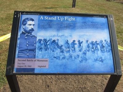
A Stand Up Fight
Second Battle of Manassas
— Day One - August 28, 1862 - Nightfall —
Inscription.
Union Brig. Gen. John Gibbon advanced through the woods with his men intent on driving off the Confederate artillery. Discovering Stonewall Jackson's infantry in force and "...finding that the regiment had become badly involved I ordered the rest of the brigade rapidly up to its support. They moved up and promptly formed in line ... then for over an hour the most terrific musketry fire I have ever listened to rolled along those two lines of battle."
"A sheet of flame seemed to go out from each side" as the exchange of deadly volleys continued into the growing darkness. Outnumbered and exposed, the Union line held its ground, returning fire with discipline and great effect. Fence rails gave little protection to the famed "Stonewall Brigade" less than 50 yards in front. Gibbon was pleased with his largely untested Midwestern troops who stood firm under fire.
John Gibbon's "Black Hat" Brigade - named for their distinctive black Hardee hats - first proved their tenacity at Second Manassas. Here they held their ground against an overwhelming force of Stonewall Jackson's battle hardened veterans.
Losses on both sides were frightful. Gibbon's brigade lost 725 out of 1,937 men. The 56th Pennsylvania and 76th New York of Abner Doubleday's brigade lost 236 of about 550 men. The Stonewall Brigade lost 340 of 850 men. One in three men who fought here were casualties.
Caption:
Union Brig. Gen. John Gibbon was reared in North Carolina and had three brothers in the Confederate army.
Erected by Manassas National Battlefield Park - National Park Service - Department of the Interior.
Topics. This historical marker is listed in this topic list: War, US Civil.
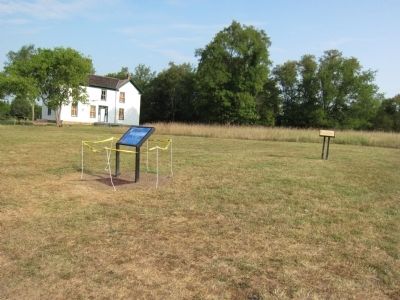
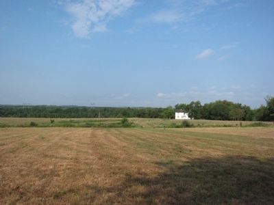
Location. 38° 48.783′ N, 77° 33.884′ W. Marker is in Gainesville, Virginia, in Prince William County. Marker can be reached from Pageland Lane (County Route 705) 0.7 miles north of Lee Highway (U.S. 29), on the right when traveling north. Located on the Brawner Farm Loop Trail, Manassas National Battlefield Park. Touch for map. Marker is at or near this postal address: 6501 Pageland Ln, Gainesville VA 20155, United States of America. Touch for directions.
Other nearby markers. At least 8 other markers are within walking distance of this marker. 19th Indiana Infantry (here, next to this marker); Jackson Opens Fire (within shouting distance of this marker); Archeology at Brawner Farm (within shouting distance of this marker); Jackson Strikes (about 300 feet away, measured in a direct line); 2nd Wisconsin Infantry (about 400 feet away); First Brigade (about 500 feet away); Shooting Gallery (about 500 feet away); The Battle Begins (approx. 0.2 miles away). Touch for a list and map of all markers in Gainesville.
Also see . . .
1. Manassas National Battlefield Park. NPS Manassas National Battlefield Park website entry (Submitted on March 31, 2024, by Larry Gertner of New York, New York.)
2. Dying in Line. The older marker replaced by this new one. (Submitted on August 26, 2012, by Craig Swain of Leesburg, Virginia.)
Credits. This page was last revised on March 31, 2024. It was originally submitted on August 26, 2012, by Craig Swain of Leesburg, Virginia. This page has been viewed 774 times since then and 24 times this year. Photos: 1, 2, 3. submitted on August 26, 2012, by Craig Swain of Leesburg, Virginia.


