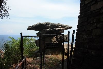
Lookout Mountain in Hamilton County, Tennessee — The American South (East South Central)
Lookout Mountain Trails
Inscription.
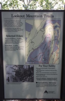
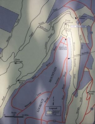
A series of hiking trails traverse the wooded slopes of Lookout Mountain within the boundaries of Chickamauga and Chattanooga National Military Park. From this point you may walk to several historic sites and viewpoints, including the Cravens House and Sunset Rock.
Detailed hiking maps and additional information are available at the National Park Service Visitor Center opposite the main entrance to Point Park.
The cravens House - 1.5 miles
Damaged during the Civil War, and rebuilt in 1866, the Cravens House was used as a headquarters by both armies. Open to visitors during scheduled hours, March-November. Allow 2 hours for a round-trip hike.
Sunset Rock - 1.1 miles
From this viewpoint on the west side of Lookout Mountain, Confederate Lt. Gen. James Longstreet directed his troops in the Battle of Wauhatchie in late October 1863. Allow 1-1/2 hours for a round-trip hike.
Erected by Chickamauga-Chattanooga National Military Park.
Topics. This historical marker is listed in this topic list: War, US Civil. A significant historical month for this entry is October 1863.
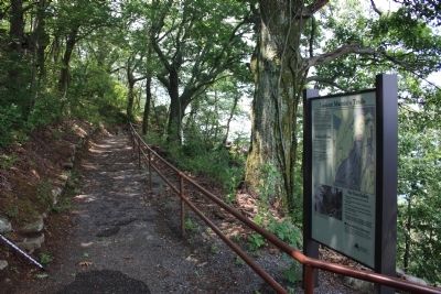
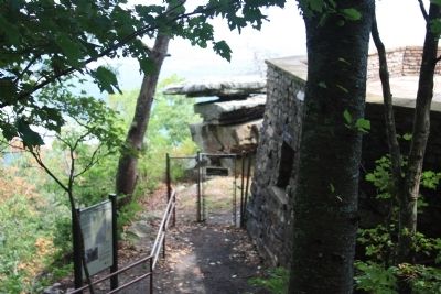
Location. 35° 0.754′ N, 85° 20.64′ W. Marker is in Lookout Mountain, Tennessee, in Hamilton County. Marker can be reached from Point Park Road north of East Brow Road. This historic marker is located in Point Park, atop Lookout Mountain, on the walking trail that begins just a short flight of stone steps down from the entrance to Ochs Museum and observation deck at the point of Lookout Mountain. Touch for map. Marker is in this post office area: Lookout Mountain TN 37350, United States of America. Touch for directions.
Other nearby markers. At least 8 other markers are within walking distance of this marker. Lookout Valley and Browns Ferry (a few steps from this marker); Cobham's Brigade (a few steps from this marker); Union Occupation of the Summit (a few steps from this marker); Tennessee River and Moccasin Bend (a few steps from this marker); 111th Pennsylvania Infantry (a few steps from this marker); Battle Above the Clouds (within shouting distance of this marker); 29th Pennsylvania Infantry (within shouting distance of this marker); Chattanooga and Missionary Ridge (within shouting distance of this marker). Touch for a list and map of all markers in Lookout Mountain.
Photographed By Dale K. Benington, July 18, 2012
3. Lookout Mountain Trails Marker
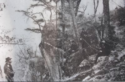
Close-up view of the photo displayed on the marker. The caption on the picture reads, "Union commander Gen. Ulysses S. Grant (left) with staff officers on Lookout Mountain after the November 1863 battles. The photo was taken near this point."
Credits. This page was last revised on June 16, 2016. It was originally submitted on August 29, 2012, by Dale K. Benington of Toledo, Ohio. This page has been viewed 774 times since then and 25 times this year. Photos: 1, 2, 3, 4, 5, 6. submitted on August 29, 2012, by Dale K. Benington of Toledo, Ohio.
