Near Mayfield in Fulton County, New York — The American Northeast (Mid-Atlantic)
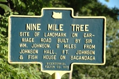
Nine Mile Tree
riage road built by Sir
Wm. Johnson. 9 miles from
Johnson Hall, Ft. Johnson
& Fish House on Sacandaga
Bicentennial
Fulton Co. 1975
Erected 1975 by Fulton County.
Topics. This historical marker is listed in these topic lists: Roads & Vehicles • Settlements & Settlers. A significant historical year for this entry is 1975.
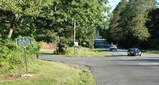
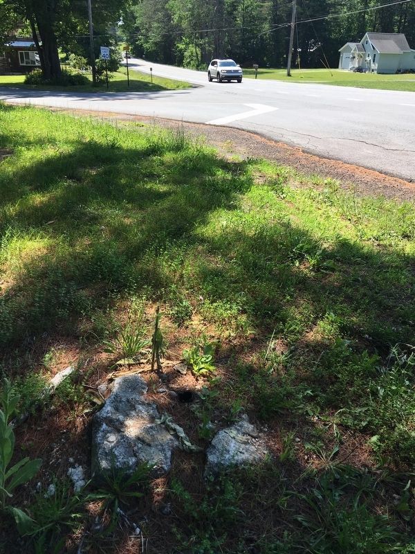
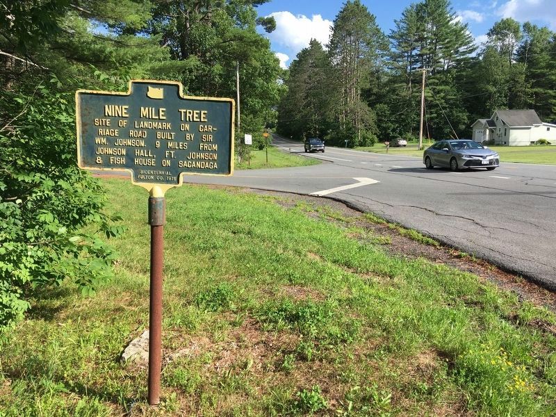
Location. Marker has been reported missing. It was located near 43° 4.253′ N, 74° 15.172′ W. Marker was near Mayfield, New York, in Fulton County. Marker was at the intersection of New York State Route 30 and Lathrop Road, on the right when traveling north on State Route 30. Marker is beside Route 30 between Griffis Road and Lathrop Road. Lathrop Road is opposite 9 Mile Tree Road. . Touch for map. Marker was in this post office area: Mayfield NY 12117, United States of America. Touch for directions.
Other nearby markers. At least 8 other markers are within 3 miles of this location, measured as the crow flies. Mayfield Fort (approx. 1.2 miles away); Anthonyville (approx. 1˝ miles away); Burying Ground (approx. 1.7 miles away); Mayfield Lake (approx. 1.8 miles away); Romeyn's Mill (approx. 1.9 miles away); Munsonville (approx. 2.1 miles away); Site of Dutch Reformed Church (approx. 2.1 miles away); Riceville Cemetery (approx. 2.1 miles away). Touch for a list and map of all markers in Mayfield.
Regarding Nine Mile Tree. Sir William Johnson laid out a carriage road from Fort Johnson to his summer cottage on the Sacandaga Vlaie. At each mile, he had a marker braised on a tree to designate the distance he travelled. For many decades, a large pine stood at this intersection on the opposite corner from this marker and it had its mark, designated the 9th mile. This 1976 Bicentennial marker replaced an original from the 1930's destroyed by a snow plow.
Also see . . . The Nine Mile Tree Marker:. (Submitted on August 30, 2012.)
Additional keywords. "9 Mile Tree"
Credits. This page was last revised on July 24, 2022. It was originally submitted on August 30, 2012, by Howard C. Ohlhous of Duanesburg, New York. This page has been viewed 562 times since then and 41 times this year. Photos: 1, 2. submitted on August 30, 2012, by Howard C. Ohlhous of Duanesburg, New York. 3. submitted on July 8, 2020, by Howard C. Ohlhous of Duanesburg, New York. 4. submitted on July 22, 2022, by Howard C. Ohlhous of Duanesburg, New York. • Bill Pfingsten was the editor who published this page.


