Staunton, Virginia — The American South (Mid-Atlantic)
Stauntonís Wharf Historic District History
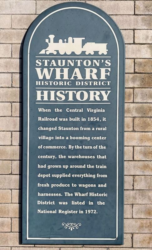
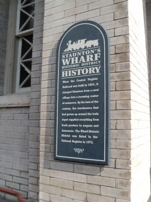
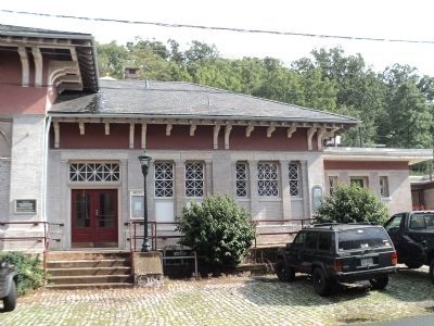
When the Central Virginia Railroad was built in 1854, it changed Staunton from a rural village into a booming center of commerce. By the turn of the century, the warehouses that had grown up around the train depot supplied everything from fresh produce to wagons and harnesses. The Wharf Historic District was listed in the National Register in 1972.
Topics. This historical marker is listed in this topic list: Railroads & Streetcars. A significant historical year for this entry is 1854.
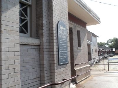
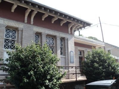
Location. 38° 8.849′ N, 79° 4.364′ W. Marker is in Staunton, Virginia. Marker is on Middlebrook Avenue (Virginia Route 252), on the left when traveling west. Marker is located at the Staunton train station. Touch for map. Marker is in this post office area: Staunton VA 24401, United States of America. Touch for directions.
Other nearby markers. At least 8 other markers are within walking distance of this marker. Main Passenger Terminal (a few steps from this marker); Staunton (a few steps from this marker); History of the C&O Station (a few steps from this marker); Sears Hill Bridge (a few steps from this marker); Barnas Sears, Woodrow Park, & Sears Hill Neighborhood (within shouting distance of this marker); Staunton Historic Districts (within shouting distance of this marker); Beyer Print of Staunton (within shouting distance of this marker); Dr. Alexander Humphreys (about 400 feet away, measured in a direct line). Touch for a list and map of all markers in Staunton.
Credits. This page was last revised on June 10, 2021. It was originally submitted on August 30, 2012, by Bill Coughlin of Woodland Park, New Jersey. This page has been viewed 793 times since then and 37 times this year. Photos: 1. submitted on June 10, 2021, by Shane Oliver of Richmond, Virginia. 2, 3, 4, 5. submitted on August 30, 2012, by Bill Coughlin of Woodland Park, New Jersey.
