Near Bolivar in Jefferson County, West Virginia — The American South (Appalachia)
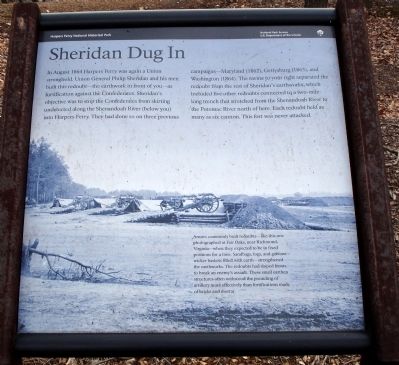
Sheridan Dug In
Harpers Ferry National Historical Park
— National Park Service, U.S. Department of the Interior —
Erected by National Park Service, U.S. Department of the Interior.
Topics. This historical marker is listed in this topic list: War, US Civil. A significant historical year for this entry is 1864.
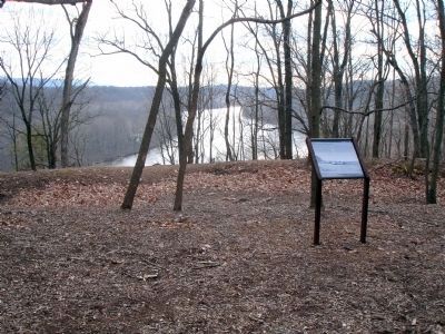
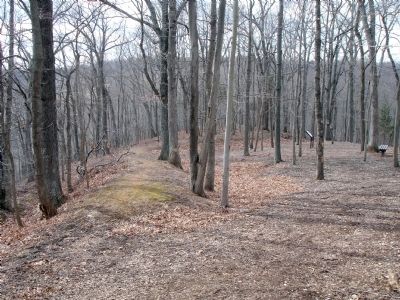
Location. 39° 18.472′ N, 77° 45.865′ W. Marker is near Bolivar, West Virginia, in Jefferson County. Marker can be reached from Shoreline Drive. Located on the Murphy Farm trail in the Harpers Ferry National Historical Park. Touch for map. Marker is in this post office area: Harpers Ferry WV 25425, United States of America. Touch for directions.
Other nearby markers. At least 8 other markers are within walking distance of this marker. Mountains, Men, and Maneuvers (about 400 feet away, measured in a direct line); The Murphy Farm (about 700 feet away); A Moving Symbol (about 800 feet away); Pilgrimage (about 800 feet away); Holy Ground (about 800 feet away); The Fate of Harpers Ferry was sealed. (approx. ¼ mile away); Gun Position #6 (approx. 0.3 miles away); Struggle to the Heights (approx. 0.4 miles away). Touch for a list and map of all markers in Bolivar.
More about this marker. The backgound of this marker is a photograph captioned, "Armies commonly built redoubts—like this one photographed at Fair Oaks, near Richmond, Virginia—when they expected to be in fixed positions for a time. Sandbags, logs, and gabions—wicker baskets filled with earth—strengthened earthworks. The redoubts had sloped fronts to break an enemy’s assault. These small earthen structures often withstood the pounding of artillery more effectively than fortifications made of bricks and mortar."
Credits. This page was last revised on July 6, 2020. It was originally submitted on March 2, 2008. This page has been viewed 1,221 times since then and 13 times this year. Photos: 1, 2, 3. submitted on March 2, 2008. • Craig Swain was the editor who published this page.


