Cayce in Lexington County, South Carolina — The American South (South Atlantic)
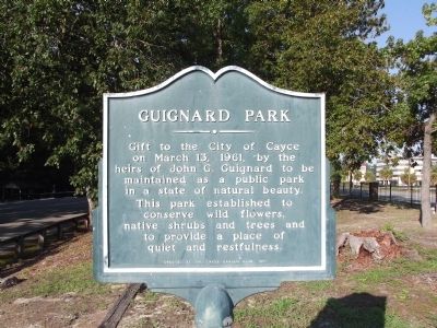
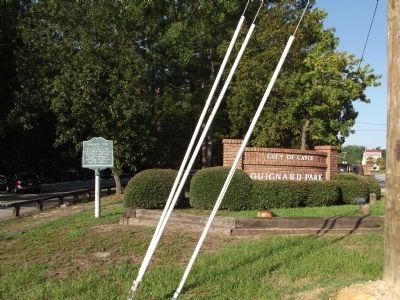
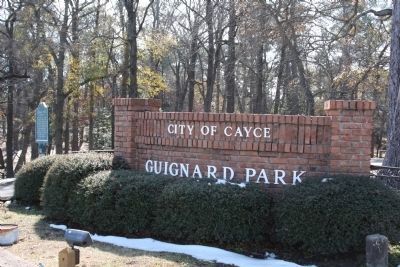
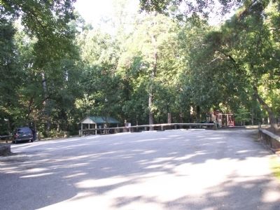
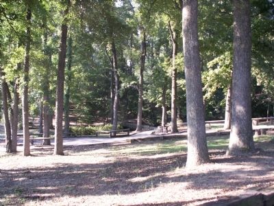
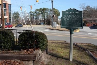
Guignard Park
Erected 1971 by Cayce Garden Club.
Topics. This historical marker is listed in these topic lists: Charity & Public Work • Horticulture & Forestry. A significant historical month for this entry is March 1815.
Location. 33° 59.146′ N, 81° 3.176′ W. Marker is in Cayce, South Carolina, in Lexington County. Marker is at the intersection of Knox Abbot Drive and Axtell Drive, on the left when traveling west on Knox Abbot Drive. Touch for map. Marker is in this post office area: Cayce SC 29033, United States of America. Touch for directions.
Other nearby markers. At least 8 other markers are within walking distance of this marker. World War II Monument and Memorial (approx. ¼ mile away); Old State Road (approx. 0.3 miles away); Milestones (approx. 0.6 miles away); River Inn, c. 1740s (approx. 0.6 miles away); Gervais Street Bridge (approx. 0.6 miles away); “City of Columbia” Anchor (approx. 0.6 miles away); Friday’s Ferry (approx. 0.6 miles away); Old Congaree River Bridges (approx. 0.6 miles away). Touch for a list and map of all markers in Cayce.
Credits. This page was last revised on June 16, 2016. It was originally submitted on September 3, 2012, by Anna Inbody of Columbia, South Carolina. This page has been viewed 516 times since then and 38 times this year. Photos: 1, 2. submitted on September 3, 2012, by Anna Inbody of Columbia, South Carolina. 3. submitted on September 3, 2012, by Mike Stroud of Bluffton, South Carolina. 4, 5. submitted on September 3, 2012, by Anna Inbody of Columbia, South Carolina. 6. submitted on September 3, 2012, by Mike Stroud of Bluffton, South Carolina. • Craig Swain was the editor who published this page.
