Columbia in Boone County, Missouri — The American Midwest (Upper Plains)
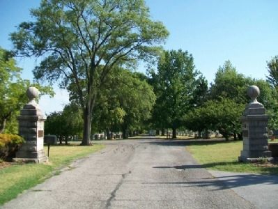
Columbia Cemetery
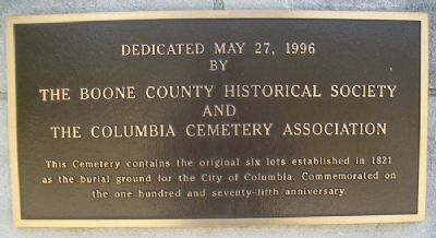
This cemetery contains the original six lots established in 1821 as the burial ground for the City of Columbia. Commemorated on the one hundred and seventy-fifth anniversary.
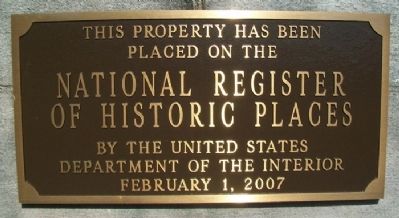
placed on the
National Register
of Historic Places
by the United States
Department of the Interior
February 1, 2007
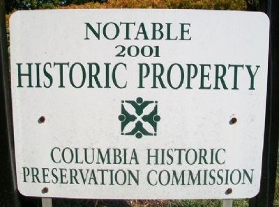
Notable Historic Property
2001
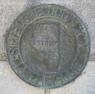
Boone County Historical Society
Historic Site
Erected 1996 by Boone County Historical Society, Columbia Cemetery Association, and Columbia Historic Preservation Commission.
Topics. This historical marker is listed in this topic list: Cemeteries & Burial Sites. A significant historical month for this entry is February 1907.
Location. 38° 57.06′ N, 92° 20.238′ W. Marker is in Columbia, Missouri, in Boone County. Marker is on Broadway, on the right when traveling east. Marker is at the cemetery entrance. Touch for map. Marker is at or near this postal address: 30 East Broadway, Columbia MO 65203, United States of America. Touch for directions.
Other nearby markers. At least 8 other markers are within walking distance of this marker. Operation Desert Storm (here, next to this marker); African-American Heritage Trail (within shouting distance of this marker); James Shannon L.L.D. (about 600 feet away, measured in a direct line); George Clinton Swallow (approx. 0.2 miles away); Missouri-Kansas-Texas Railroad Yard (approx. ¼ mile away); African-American Heritage (approx. ¼ mile away); Commerce (approx. ¼ mile away); Early Settlement (approx. ¼ mile away). Touch for a list and map of all markers in Columbia.
Also see . . . Columbia Cemetery. (Submitted on September 13, 2012, by William Fischer, Jr. of Scranton, Pennsylvania.)
Credits. This page was last revised on March 26, 2021. It was originally submitted on September 13, 2012, by William Fischer, Jr. of Scranton, Pennsylvania. This page has been viewed 711 times since then and 32 times this year. Photos: 1, 2, 3, 4, 5. submitted on September 13, 2012, by William Fischer, Jr. of Scranton, Pennsylvania.
