Charleston in Kanawha County, West Virginia — The American South (Appalachia)
Presidential Presence
Tending to Family, Fort, and Ferry
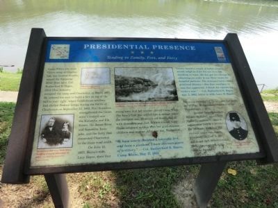
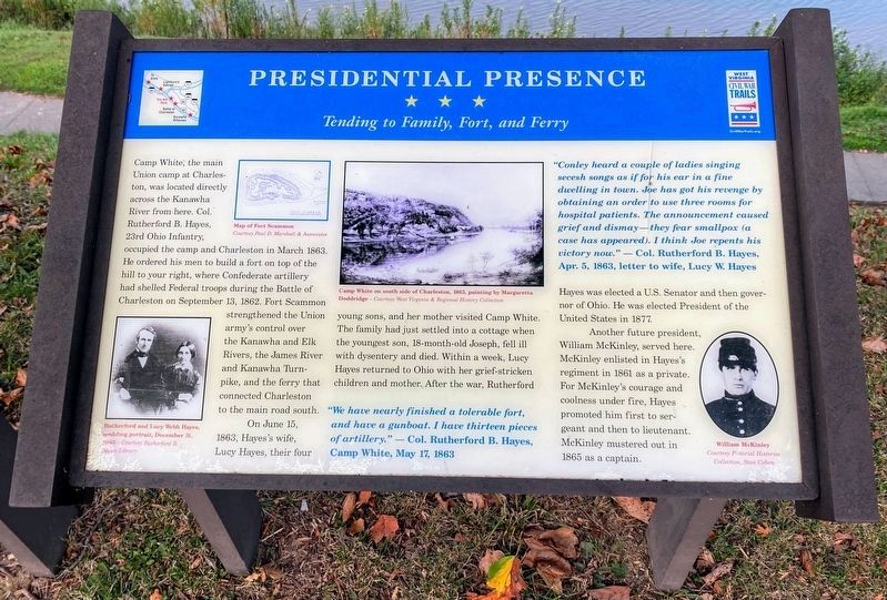
On June 15, 1863, Hayes’s wife Lucy Hayes, their four young sons, and her mother visited Camp White. The family had just settled into a cottage when the youngest son, 18 month-old Joseph, fell ill with dysentery and died. Within a week, Lucy Hayes returned to Ohio with her grief-stricken children and mother. After the war, Rutherford Hayes was elected a U.S. Senator and then governor of Ohio. He was elected President of the United States in 1877.
Another future president, William McKinley enlisted in Hayes’s regiment in 1861 as a private. For McKinley’s courage and coolness under fire, Hayes promoted him first to sergeant and then to lieutenant. McKinley mustered out in 1865 as a captain.
"We have nearly finished a tolerable fort, and have a gunboat. I have thirteen pieces of artillery." - Col. Rutherford B. Hayes, Camp White, May 17, 1863
"Conley heard a couple of ladies singing secesh songs as if for his ear in a fine dwelling in town. Joe has got his revenge by obtaining an order for use three rooms for hospital patients. The announcement caused grief and dismay - they fear smallpox (a chase has appeared). I think Joe repents his victory now." - Col. Rutherford B. Hayes, Apr. 5, 1863, letter to wife, Lucy W. Hayes
Erected by West Virginia Civil War Trails.
Topics and series. This historical marker is listed in this topic list: War, US Civil. In addition, it is included in the Former U.S. Presidents: #19 Rutherford B. Hayes, the Former U.S. Presidents: #25 William McKinley, and the West Virginia Civil War Trails series lists. A significant historical month for this entry is March 1863.
Location. 38° 21.042′ N, 81° 38.388′ W. Marker is in Charleston, West Virginia, in Kanawha County. Marker is at the intersection of Kanawha Boulevard and Court Street, on the right when traveling south on Kanawha Boulevard. Touch for map. Marker is at or near this postal address: 471 Kanawha Boulevard East, Charleston WV 25301, United States of America. Touch for directions.
Other nearby markers. At least 8 other markers are within walking distance of this marker. Military Occupation (here, next to this marker); Charleston (a few steps from this marker); Victims of July 19, 1961 Flood (about 400 feet away, measured in a direct line); Kanawha County Formed November 14, 1788 (about 400 feet away); The New Deal In Your Community (approx. ¼ mile away); Kanawha County Public Library (approx. ¼ mile away); State Capitol Annex (approx. 0.3 miles away); South Side Bridge (approx. 0.3 miles away). Touch for a list and map of all markers in Charleston.
Credits. This page was last revised on August 12, 2021. It was originally submitted on September 3, 2012, by Don Morfe of Baltimore, Maryland. This page has been viewed 695 times since then and 33 times this year. Last updated on September 15, 2012, by Don Morfe of Baltimore, Maryland. Photos: 1. submitted on September 3, 2012, by Don Morfe of Baltimore, Maryland. 2. submitted on August 12, 2021, by Shane Oliver of Richmond, Virginia. 3. submitted on September 3, 2012, by Don Morfe of Baltimore, Maryland. 4. submitted on September 4, 2012, by Don Morfe of Baltimore, Maryland. • Bill Pfingsten was the editor who published this page.


