Glenora near Spotsylvania Courthouse in Spotsylvania County, Virginia — The American South (Mid-Atlantic)
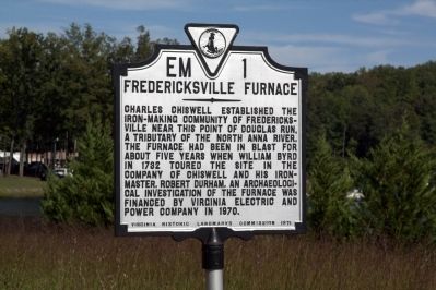
Fredericksville Furnace
Erected 1971 by Virginia Historic Landmarks Commission. (Marker Number EM-1.)
Topics. This historical marker is listed in these topic lists: Colonial Era • Industry & Commerce. A significant historical year for this entry is 1732.
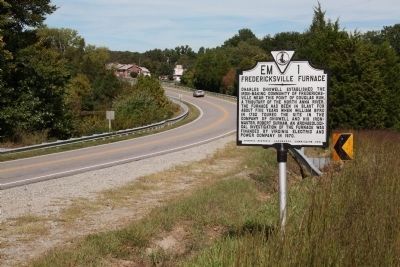
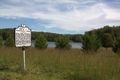
Location. 38° 5.338′ N, 77° 47.227′ W. Marker is near Spotsylvania Courthouse, Virginia, in Spotsylvania County. It is in Glenora. Marker is on Courthouse Road (Virginia Route 208) near the Douglas Run causeway, on the left when traveling south. Touch for map. Marker is at or near this postal address: 5020 Courthouse Rd, Spotsylvania VA 22551, United States of America. Touch for directions.
Other nearby markers. At least 8 other markers are within 10 miles of this marker, measured as the crow flies. Spotsylvania's War Effort (approx. 2.7 miles away); Spotsylvania’s First African American Church (approx. 5.4 miles away); Jerdone Castle (approx. 6.1 miles away); Social and Economic Richness in the Livingston District (approx. 7.3 miles away); Asbury’s Deathplace (approx. 9 miles away); Bumpass (approx. 9.1 miles away); Civilian Conservation Corps Company 2359 (approx. 9.4 miles away); Penny’s Tavern Site (approx. 9½ miles away). Touch for a list and map of all markers in Spotsylvania Courthouse.
Also see . . . Extended Research - Fredericksburg Area Markers. “Very little research has been done on Charles Chiswell and his furnace at Fredericksville. The small town of Fredericksville has long been erased from the maps of Fredericksburg and Spotsylvania County. The iron works were situated in the southwestern part of Spotsylvania County, about a half a mile from the North Anna River and twenty-four miles from the shipping point on the Rappahannock River. There are no definite dates for the beginning or end of the mine’s operation. Most likely, the Fredericksville furnace began operation between 1723 and 1727.” (Submitted on September 16, 2012.)
Credits. This page was last revised on February 20, 2023. It was originally submitted on September 16, 2012, by J. J. Prats of Powell, Ohio. This page has been viewed 619 times since then and 36 times this year. Photos: 1, 2, 3. submitted on September 16, 2012, by J. J. Prats of Powell, Ohio.


