Parowan in Iron County, Utah — The American Mountains (Southwest)
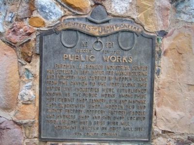
Public Works
Erected 1948 by Iron County Company – Daughters of Utah Pioneers. (Marker Number 121.)
Topics and series. This historical marker is listed in these topic lists: Industry & Commerce • Settlements & Settlers. In addition, it is included in the Daughters of Utah Pioneers series list. A significant historical year for this entry is 1851.
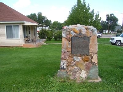
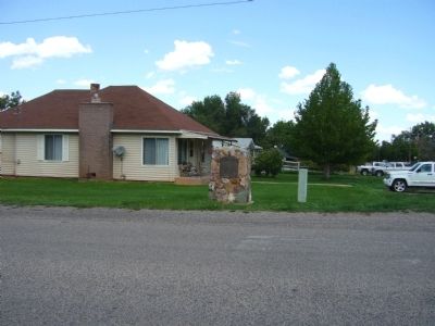
Location. 37° 50.342′ N, 112° 49.538′ W. Marker is in Parowan, Utah, in Iron County. Marker is at the intersection of East 200 South and North 100 East, on the left when traveling east on East 200 South. Marker is on the northwest corner. Touch for map. Marker is in this post office area: Parowan UT 84761, United States of America. Touch for directions.
Other nearby markers. At least 8 other markers are within walking distance of this marker. William and Julia Lyman House (about 500 feet away, measured in a direct line); First School House and Council House in Iron County (about 700 feet away); John C. Freemont Memorial (about 700 feet away); Pioneer Sundial (about 800 feet away); Jesse N. Smith Home (approx. 0.2 miles away); a different marker also named Jesse N. Smith Home (approx. 0.2 miles away); Pioneer Rock Church (approx. 0.2 miles away); Birthplace of Southern Utah (approx. 0.2 miles away). Touch for a list and map of all markers in Parowan.
Credits. This page was last revised on June 16, 2016. It was originally submitted on September 17, 2012, by Bill Kirchner of Tucson, Arizona. This page has been viewed 505 times since then and 12 times this year. Photos: 1, 2, 3. submitted on September 17, 2012, by Bill Kirchner of Tucson, Arizona. • Syd Whittle was the editor who published this page.


