Warner Robins in Houston County, Georgia — The American South (South Atlantic)
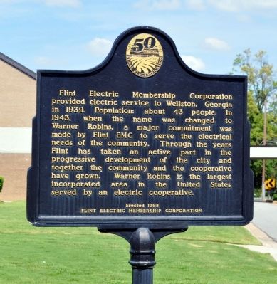
Flint Electric Membership Corporation
Erected 1985 by Flint Electric Membership Corporation.
Topics and series. This historical marker is listed in this topic list: Industry & Commerce. In addition, it is included in the Rural Electrification 💡 series list. A significant historical year for this entry is 1939.
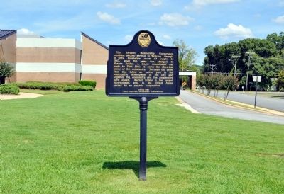
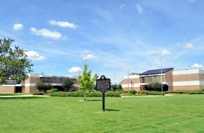
Location. Marker has been reported missing. It was located near 32° 37.15′ N, 83° 36.417′ W. Marker was in Warner Robins, Georgia, in Houston County. Marker was at the intersection of Watson Boulevard (Georgia Route 247 Connector Road) and Myrtle Street, on the right when traveling west on Watson Boulevard. The marker stands in front of the Warner Robins Municipal Complex. Touch for map. Marker was at or near this postal address: 700 Watson Boulevard, Warner Robins GA 31093, United States of America. Touch for directions.
Other nearby markers. At least 8 other markers are within 3 miles of this location, measured as the crow flies. Mildred's Country Store (approx. 0.4 miles away); "Butch" – University of Georgia's First Bulldog (approx. 0.4 miles away); The Fallen President (approx. 0.4 miles away); Warner Robins Depot (approx. 0.4 miles away); Caboose SOU X556 (approx. 0.4 miles away); The Jody Town Community (approx. 1.1 miles away); Boeing B-1B Lancer (approx. 2.2 miles away); 19th Air Refueling Wing Monument (approx. 2.2 miles away). Touch for a list and map of all markers in Warner Robins.
Credits. This page was last revised on September 22, 2022. It was originally submitted on September 18, 2012, by David Seibert of Sandy Springs, Georgia. This page has been viewed 467 times since then and 17 times this year. Last updated on September 22, 2022, by Dave W of Co, Colorado. Photos: 1, 2, 3. submitted on September 18, 2012, by David Seibert of Sandy Springs, Georgia. • Bernard Fisher was the editor who published this page.


