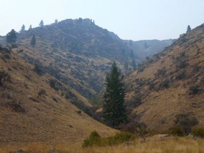
North Fork in Lemhi County, Idaho — The American West (Mountains)
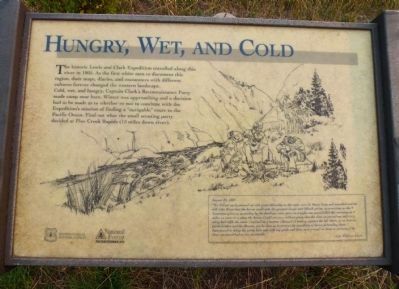
Hungry, Wet and Cold
Cold, wet and hungry, Captain Clark's Reconnaisance Party made camp near here. Winter was approaching and a decision had to be made as to whether or not to continue with the Expedition's mission of finding a "navigable" route to the Pacific Ocean. Find out what the small scouting party decided at Pine Creek Rapids, (15 miles down river).
August 23, 1805
"We set out early proceed on with great dificuelty as the rocks were So Sharp large and unsettled and the hillsides Steep that the horses could with the greatest risque and dificult get on, no provisions as the 5 Sammons given us yesterday by the Inndians were eaten last night, one goose killed this morning: at 4 miles we came to a place the horses Could not pass without going into the river, we passed one mile to a very bad riffle the water Confined in a narrrow Channel & Beeting against the left Shore, as we have no parts further and the Mounts, jut So close as to prevent the possibiley of horses proceeding down, I determined to delay the party here and with my guide and three men proceed on down to examine if the river continued bad or was practiable."
--Cpt. William Clark
Erected by U.S. Forest Service and the National Forest Foundation.
Topics and series. This historical marker is listed in these topic lists: Exploration • Native Americans. In addition, it is included in the Lewis & Clark Expedition series list. A significant historical year for this entry is 1805.
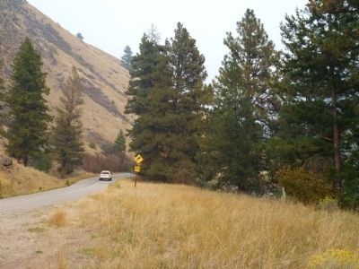
Location. 45° 22.497′ N, 114° 5.413′ W. Marker is in North Fork, Idaho, in Lemhi County. Marker is on Salmon River Highway (Scenic Route 30) 5 miles west of Lewis and Clark Highway (U.S. 93), on the left when traveling west. Situated next to one of the few turnouts on this road. Touch for map. Marker is in this post office area: North Fork ID 83466, United States of America. Touch for directions.
Other nearby markers. At least 8 other markers are within 10 miles of this marker, measured as the crow flies. In memory of Jeff Allen and Shane Heath (approx. 4.2 miles away); Salmon River Encounter (approx. 5.1 miles away); In Commemoration of Old Toby the Shoshone Indian (approx. 5.1 miles away); Lewis and Clark (approx. 5.2 miles away); Nez Perce Trail (approx. 9.2 miles away); Tower Creek (approx. 9.8 miles away); Tower Rock: William Clark's "Clift" (approx. 9.9 miles away); The Bluff (approx. 10 miles away). Touch for a list and map of all markers in North Fork.
More about this marker. This is a simple National Forest interpretive marker. It is notable because the Salmon River country was where the Expedition was on the verge of ending its westward travel until the Shoshone and Nez Perce people, showing traditional Native American hospitality, assisted their travels through the Rocky Mountains.
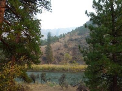
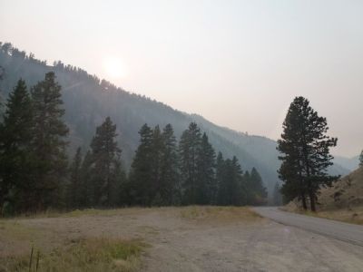
Regarding Hungry, Wet and Cold. The Salmon was designated a Wild and Scenic River several decades ago, and this road is one path to the Frank Church River of no Return Wilderness. Mining, ranching, logging and downstream dam building have affected the area. Actually, short of most of the salmon being gone, and development in the flatter areas, today the region's upper reaches would be familiar to Lewis, Clark and the various Tribes traveling through, managing and using these lands. Wildlife and fish numbers are being nurtured back to stable numbers, wolves reintroduced, bears routinely rob apple trees, bighorn sheep and elk come down from the crags to water in creeks and rivers at dawn and dusk.
Credits. This page was last revised on June 16, 2016. It was originally submitted on September 25, 2012, by Chris English of Phoenix, Arizona. This page has been viewed 784 times since then and 27 times this year. Photos: 1, 2, 3, 4, 5, 6. submitted on September 25, 2012, by Chris English of Phoenix, Arizona. • Syd Whittle was the editor who published this page.
Editor’s want-list for this marker. Wide area view of the marker and its surroundings. • Can you help?
