Appomattox in Appomattox County, Virginia — The American South (Mid-Atlantic)
Wartime Landscape
Appomattox Court House National Historical Park
— National Park Service —
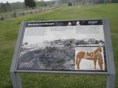
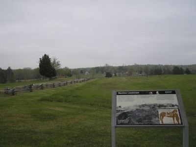
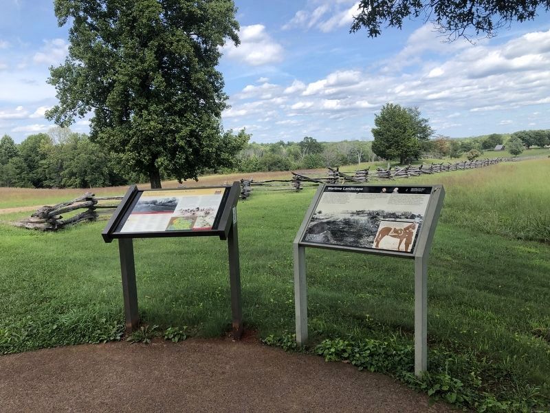
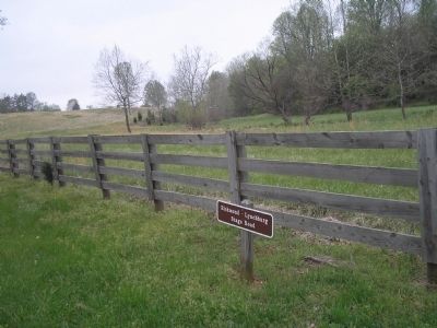
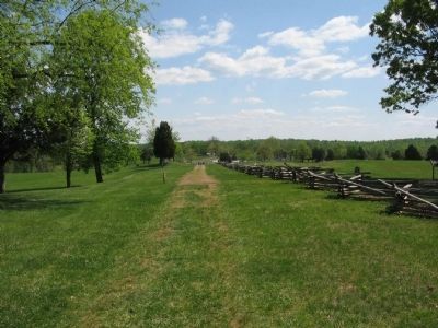
The road trace in front of you is the remnant of the Richmond-Lynchburg Stage Road – on April 9, 1865, the most important road in Virginia to Robert E. Lee. Along this road he planned to escape west, hoping eventually to turn south and join Joe Johnston’s army in North Carolina. When the Federals blocked this route, Lee had no choice but to surrender.
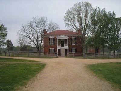
To your right is the village of Appomattox Court House, looking much as it did when Grant arrived here the afternoon of April 9. He met her briefly with Generals Sheridan and Ord.
“Is General Lee up there?” Grant asked Sheridan. “He himself is over in that house,” Sheridan replied. “Come, let us go over.” With that simple declaration, Grant started along this road to one of the most important meetings in American history. Three hours later he would return along this route bearing news of Lee’s surrender.
Erected by National Park Service, U.S. Department of the Interior.
Topics and series. This historical marker is listed in this topic list: War, US Civil. In addition, it is included in the Former U.S. Presidents: #18 Ulysses S. Grant series list. A significant historical month for this entry is April 1735.
Location. 37° 22.583′ N, 78° 48.141′ W. Marker is in Appomattox, Virginia, in Appomattox County. Marker can be reached from Old Courthouse Road (Virginia Route 24), on the right when traveling west. Marker is in Appomattox Court House National Historical Park behind the Confederate Cemetery. Touch for map. Marker is in this post office area: Appomattox VA 24522, United States of America. Touch for directions.
Other nearby markers. At least 8 other markers are within walking distance of this marker. The First African American School in Appomattox (here, next to this marker); Appomattox Confederate Cemetery Memorial (within shouting distance of this marker); Confederate Cemetery (within shouting distance of this marker); Appomattox (within shouting distance of this marker); North Carolina (about 300 feet away, measured in a direct line); Appomattox Court House Confederate Cemetery (about 300 feet away); A Strategic Delay (about 300 feet away); Sears Lane (about 400 feet away). Touch for a list and map of all markers in Appomattox.
More about this marker. The background of the marker is a photograph of the area with the caption This photograph dates to the 1890s, when the wartime landscape had changed little. The perspective of the photo matches the view you have today. The Stage Road is at left.
The bottom right of the marker features a photo of Gen. Grant and his mount, with the caption Grant as he appeared in the last year of the war. Here he stands with his horse Cincinnati – the mount he rode into the village to meet
Lee on April 9.
Also see . . . Appomattox Court House National Historical Park. (Submitted on March 5, 2008, by Bill Coughlin of Woodland Park, New Jersey.)
Credits. This page was last revised on September 6, 2021. It was originally submitted on March 5, 2008, by Bill Coughlin of Woodland Park, New Jersey. This page has been viewed 1,444 times since then and 17 times this year. Photos: 1, 2. submitted on March 5, 2008, by Bill Coughlin of Woodland Park, New Jersey. 3. submitted on September 6, 2021, by Devry Becker Jones of Washington, District of Columbia. 4, 5. submitted on March 5, 2008, by Bill Coughlin of Woodland Park, New Jersey. 6. submitted on April 25, 2010, by Craig Swain of Leesburg, Virginia. • Craig Swain was the editor who published this page.
