Columbus in Platte County, Nebraska — The American Midwest (Upper Plains)
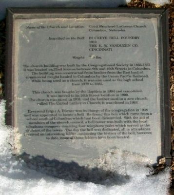
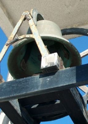
Good Shepherd Lutheran Church Bell
Inscription.
Buckeye Bell Foundry
1912
The E. W. VanDuzen Co.
Cincinnati
Weight: 710 lbs.
The church building was built by the Congregational Society in 1866-1867. It was located on 22nd Avenue between 9th and 10th Streets in Columbus. The building was constructed from lumber from the first load of commercial freight hauled to Columbus by the Union Pacific Railroad. While being used as a church, it was also used as the high school from 1879 to 1885.
This church was bought by the Baptists in 1884 and remodeled. It was moved to its 16th Street location in 1900. The church was razed in 1936 and the lumber used in a new church called The United Lutheran Church; it was closed in 1969.
Reverend Edger A. Dorner was in charge of the congregation in 1938 and was appointed to locate a bell. He found this bell which came from a school south of Columbus which had been dismantled. With the aid of members of the church council, a bell tower was built with the local telephone company donating four telephone poles which served as the skeleton of the tower. The day the bell was dedicated, all in attendance received an interesting folder containing the history of the bell; however, to date, none of those folders have been located.
Erected 1992 by Columbus Community Foundation, Columbus Area Chamber of Commerce, and Concerned Citizens and Organizations.
Topics and series. This historical marker is listed in these topic lists: Churches & Religion • Communications. In addition, it is included in the Historic Bells series list. A significant historical year for this entry is 1912.
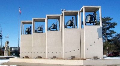
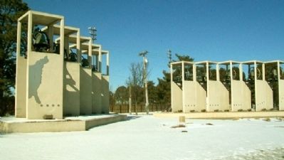
Location. 41° 25.369′ N, 97° 22.113′ W. Marker is in Columbus, Nebraska, in Platte County. Marker is on 33rd Avenue (U.S. 30/81) near 7th Street, on the right when traveling south. Belltower is in Pawnee Park. Touch for map. Marker is in this post office area: Columbus NE 68601, United States of America. Touch for directions.
Other nearby markers. At least 8 other markers are within walking distance of this marker. St. Bernard Catholic Church Bell (here, next to this marker); a different marker also named St. Bernard Catholic Church Bell (here, next to this marker); Congregational Church Bell (here, next to this marker); a different marker also named St. Bernard Catholic Church Bell (here, next to this marker); North Branch, Oregon Trail (a few steps from this marker); United Methodist Church Bell (a few steps from this marker); St. Michael's Catholic Church Bell (a few steps from this marker); a different marker also named United Methodist Church Bell (a few steps from this marker). Touch for a list and map of all markers in Columbus.
Credits. This page was last revised on August 13, 2020. It was originally submitted on September 28, 2012, by William Fischer, Jr. of Scranton, Pennsylvania. This page has been viewed 447 times since then and 7 times this year. Photos: 1, 2, 3, 4. submitted on September 28, 2012, by William Fischer, Jr. of Scranton, Pennsylvania.


