Flagstaff in Coconino County, Arizona — The American Mountains (Southwest)
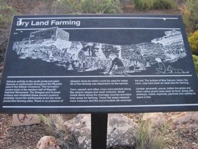
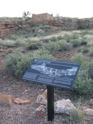
Dry Land Farming
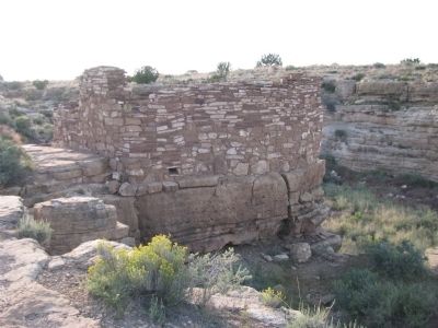
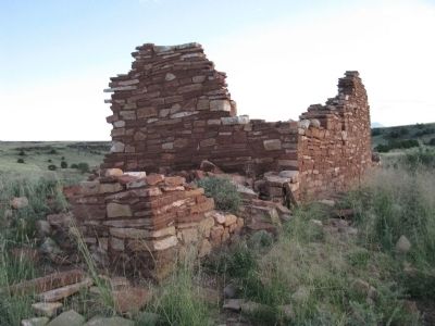
Corn, squash and other crops were planted along the canyon slopes and wash bottoms. Small check dams along the drainage courses provided level areas for farming. These flat areas retained more moisture and the accumulated slit enriched the soil. The bottom of Box Canyon, below the ruins, may have been an ideal area for farming.
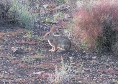
Juniper, amaranth, yucca, Indian rice grass and other native plants were used as food, along with antelope, rabbit, squirrels, packrats and reptiles name a few.
Erected by National Park Service.
Topics. This historical marker is listed in these topic lists: Anthropology & Archaeology • Native Americans.
Location. 35° 34.686′ N, 111° 28.156′ W. Marker is in Flagstaff, Arizona, in Coconino County . Marker is on Loop Road, on the right when traveling north. From Flagstaff, take US 89 north for 12 miles (19km), turn right at sign for Sunset Crater Volcano - Wupatki National Monuments. The Visitor Center is 21 miles (34km) from this junction. Touch for map. Marker is in this post office area: Flagstaff AZ 86001, United States of America. Touch for directions.
Other nearby markers. At least 8 other markers are within walking distance of this marker. Ancient Landscapes (within shouting distance of this marker); Box Canyon Ruins (within shouting distance of this marker); A Legacy of the Past (about 500 feet away, measured in a direct line); Sunset Crater Volcano (about 600 feet away); Daily Life (about 600 feet away); Nalakihu (approx. 0.8 miles away); Community (approx. 0.8 miles away); Where Were The Fields? (approx. 0.8 miles away). Touch for a list and map of all markers in Flagstaff.
Photographed By Denise Boose, September 28, 2012
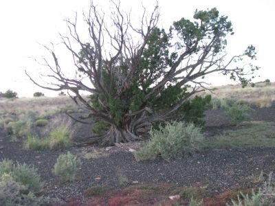
7. Onseed Juniper~Juniperus monosperma
Native peoples have countless uses for juniper, but onseed, in particular, is strongly linked to life and death. A woman who wants a female baby might ingest prepared leaves; some may use them for contraception. Newborns are assured good health with various applications, and recieves rattles filled with the tree's seed. At the end of life, juniper cleanses and rids of evil spirits.
Hopi: hotski
Zuni: ayyik'o
Apache: gat izee
Credits. This page was last revised on June 16, 2016. It was originally submitted on October 7, 2012, by Denise Boose of Tehachapi, California. This page has been viewed 701 times since then and 8 times this year. Photos: 1, 2, 3, 4, 5, 6, 7, 8. submitted on October 7, 2012, by Denise Boose of Tehachapi, California. • Syd Whittle was the editor who published this page.
