Near Truckee in Nevada County, California — The American West (Pacific Coastal)
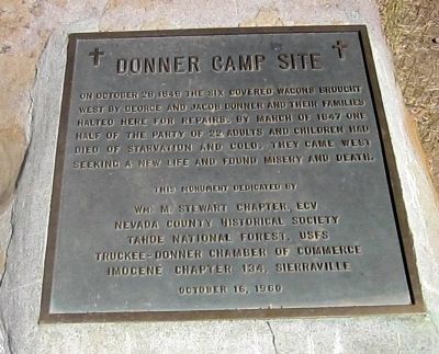
Donner Camp Site
Erected 1960 by Wm. M. Stewart Chapter - ECV, Nevada Co. Historical Society, Tahoe National Forest – USFS, Truckee-Donner Chamber of Commerce, N.D.G.W. Imogene Chapter 134, Sierraville.
Topics and series. This historical marker is listed in these topic lists: Disasters • Exploration. In addition, it is included in the E Clampus Vitus, and the Native Sons/Daughters of the Golden West series lists. A significant historical month for this entry is March 1847.
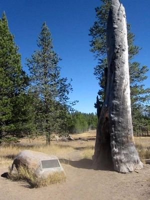
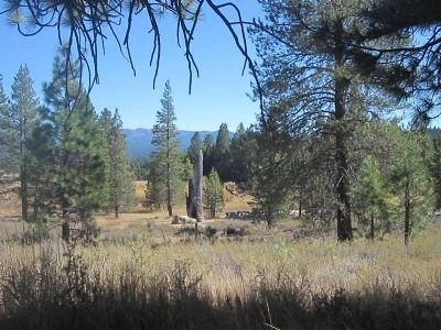
Location. 39° 22.607′ N, 120° 10.736′ W. Marker is near Truckee, California, in Nevada County. Marker can be reached from State Highway 89, 3˝ miles north of Interstate 80, on the right when traveling north. The marker is located on the interpretive trail approximately .2 mile from the parking area. Touch for map. Marker is in this post office area: Truckee CA 96161, United States of America. Touch for directions.
Other nearby markers. At least 8 other markers are within walking distance of this marker. Shelter From the Storm (a few steps from this marker); Donner Camp Tree (a few steps from this marker); The Fight to Stay Alive (within shouting distance of this marker); The Nightmare Begins (about 300 feet away, measured in a direct line); Surviving the Snowy Trek Out (about 400 feet away); A Family Heads West (about 500 feet away); Westward Ho! (about 500 feet away); Donner Party Camp at Alder Creek Valley / Tamsen and Elizabeth Donner (about 700 feet away). Touch for a list and map of all markers in Truckee.
Also see . . .
1. The Donner Campsite. History, information, and photos of the campsite at Alder Creek. (Submitted on October 23, 2012.)
2. The Donner Party. The PBS American Experience production. (Submitted on October 23, 2012.)
Credits. This page was last revised on June 16, 2016. It was originally submitted on October 23, 2012, by Syd Whittle of Mesa, Arizona. This page has been viewed 1,064 times since then and 46 times this year. Photos: 1, 2, 3. submitted on October 23, 2012, by Syd Whittle of Mesa, Arizona.


