St. John, Virgin Islands — The Caribbean (The West Indies)
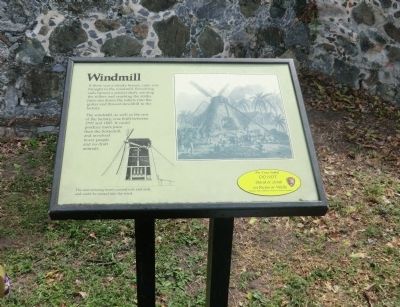
Windmill
Topics. This historical marker is listed in this topic list: Industry & Commerce. A significant historical year for this entry is 1797.
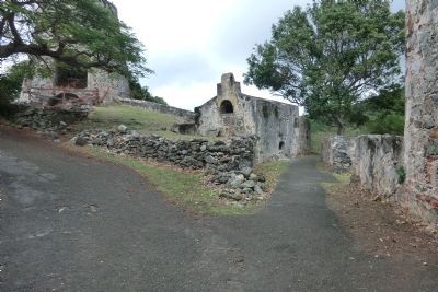
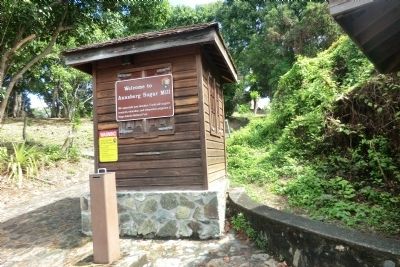
Location. 18° 21.78′ N, 64° 43.77′ W. Marker is in St. John, Virgin Islands. Marker is on Virgin Islands Route 20. The Annaberg Sugar Mill is a unit of the Virgin Islands National Park. Touch for map. Marker is in this post office area: St John VI 00830, United States of America. Touch for directions.
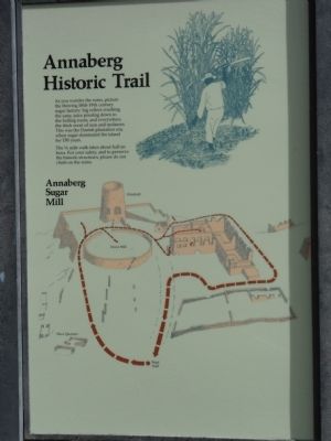
Other nearby markers. At least 8 other markers are within 13 miles of this marker, measured as the crow flies. Slave Quarters (within shouting distance of this marker); Annaberg Historic Trail (within shouting distance of this marker); Boiling Room (about 300 feet away, measured in a direct line); Horse Mill (about 300 feet away); Establishment of Virgin Islands National Park (approx. 4.7 miles away); Laurance Rockefeller (approx. 4.7 miles away); Philanthropy in the National Park Service (approx. 4.7 miles away); Arthur S. Fairchild (approx. 12.7 miles away). Touch for a list and map of all markers in St. John.
Additional keywords. This marker is on the grounds of the Annaberg Sugar Mill
Credits. This page was last revised on June 16, 2016. It was originally submitted on November 2, 2012, by Don Morfe of Baltimore, Maryland. This page has been viewed 602 times since then and 3 times this year. Photos: 1, 2, 3, 4. submitted on November 2, 2012, by Don Morfe of Baltimore, Maryland. • Bill Pfingsten was the editor who published this page.


