Near Fort Riley in Geary County, Kansas — The American Midwest (Upper Plains)
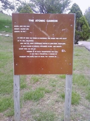
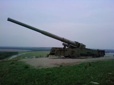
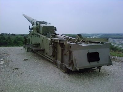
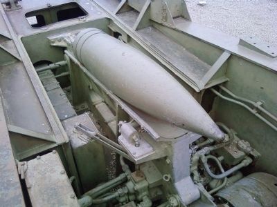
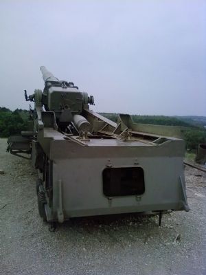
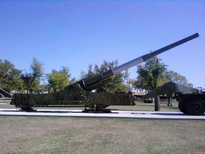
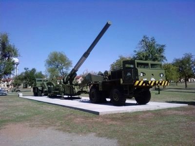
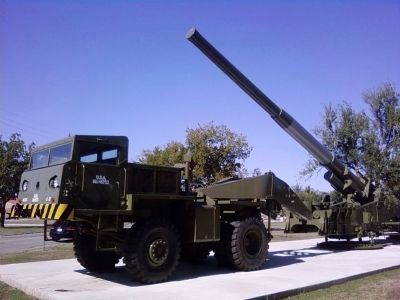
The Atomic Cannon
Model. M65 280 m.m.
Weight. 42,500 lbs.
Length. 42 feet
(1) One of only (3) three in existence, the other two are located at Ft. Sill, Oklahoma and the U.S. Army Ordinance Center in Aberdeen, Maryland. It was placed in service November 17, 1952 and deactivated August 1963. (2) 375 hp engines at 35 m.p.h. transported the cannon. It can fire a projectile, 11 inches in diameter for more than 20 miles. The cannon was never fired.
Topics. This historical marker is listed in these topic lists: Military • War, Cold. A significant historical date for this entry is November 17, 1953.
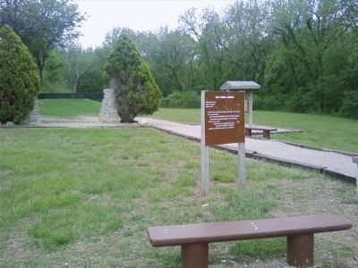
Location. 39° 2.272′ N, 96° 45.922′ W. Marker is near Fort Riley, Kansas, in Geary County. Marker can be reached from the intersection of Interstate 70 at milepost 301 and Henry Drive, on the left when traveling west. Marker is located in a small park on the south side of Interstate 70 exit 301. Touch for map. Marker is in this post office area: Fort Riley KS 66442, United States of America. Touch for directions.
Other nearby markers. At least 8 other markers are within 2 miles of this marker, measured as the crow flies. The Mormon Trail (here, next to this marker); Private Robert T. Henry Bridge (approx. 1.4 miles away); East Riding Hall (approx. 1.9 miles away); "Duty" (approx. 1.9 miles away); M3A1 37 mm Anti-Tank Gun (approx. 1.9 miles away); M3 Personnel Carrier Half-Track (approx. 2 miles away); M24 Chaffee Light Tank (approx. 2 miles away); M36 Tank Destroyer (approx. 2 miles away). Touch for a list and map of all markers in Fort Riley.
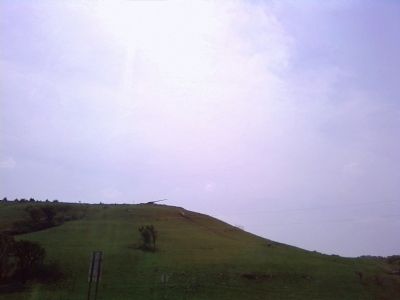
Regarding The Atomic Cannon. The cannon is reached by a winding trail up the side of the ridge adjacent to the park.
Related markers. Click here for a list of markers that are related to this marker.
Additional commentary.
1. Spelling on the marker
The spelling of Ordinance has been taken verbatim from the marker rather than the word Ordnance.
— Submitted March 10, 2021.
Credits. This page was last revised on March 19, 2023. It was originally submitted on May 16, 2011, by Lee Hattabaugh of Capshaw, Alabama. This page has been viewed 1,375 times since then and 41 times this year. Last updated on March 10, 2021, by Carl Gordon Moore Jr. of North East, Maryland. Photos: 1, 2, 3, 4, 5, 6, 7. submitted on May 16, 2011, by Lee Hattabaugh of Capshaw, Alabama. 8, 9, 10. submitted on October 21, 2011, by Lee Hattabaugh of Capshaw, Alabama. • Devry Becker Jones was the editor who published this page.
