Near Locust Grove in Spotsylvania County, Virginia — The American South (Mid-Atlantic)
Confederate Earthworks
Inscription.
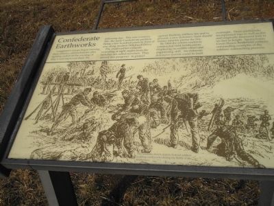
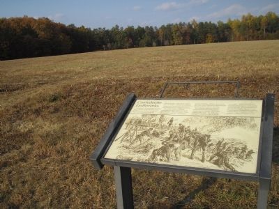
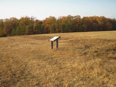
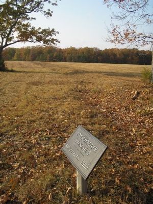
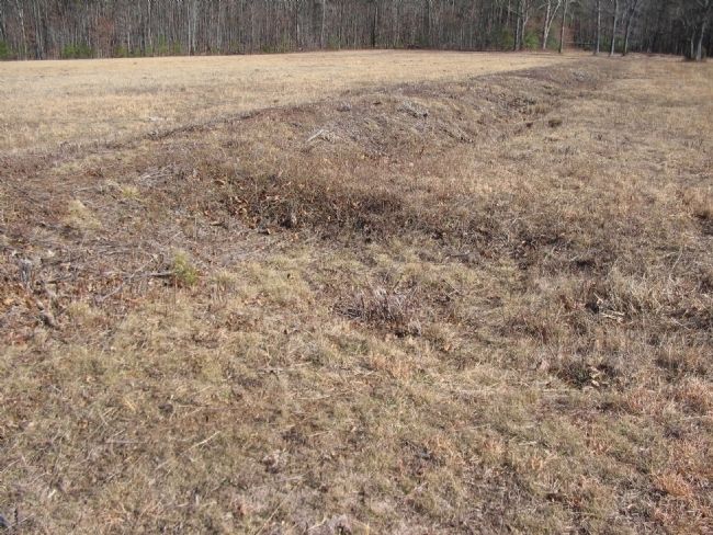
Longstreet’s troops began erecting these infantry entrenchments after fighting on the evening of May 6 and improved them the following day. This was a reserve line, the main Confederate position being a few hundred yards in font of you along modern Hill-Ewell Drive.
The small earthen mounds extending at right angles from the trenches are called traverses. They served two purposes: to protect against flanking artillery fire and to provide a new defensive front should enemy infantry pierce the line.
By 1864 the armies routinely constructed field fortifications displaying incredible effort and engineering skill. An elaborate defensive system could be built overnight. These earthworks incorporated logs as well as dirt and originally measured four to six feet in height. Spotsylvania Court House Battlefield contains outstanding examples of the soldiers’ entrenching prowess.
Topics. This historical marker is listed in this topic list: War, US Civil. A significant historical year for this entry is 1864.
Location. Marker has been reported permanently removed. It was located near 38° 17.527′ N, 77° 43.478′ W. Marker was near Locust Grove, Virginia, in Spotsylvania County. Marker was on Orange Plank Road (County Route 621), on the right when traveling west . Located at stop four of the Widow Tapp Farm hiking trail. Touch for map. Marker was in this post office area: Locust Grove VA 22508, United States of America.
We have been informed that this sign or monument is no longer there and will not be replaced. This page is an archival view of what was.
Other nearby markers. At least 8 other markers are within walking distance of this location. Brink of Victory (here, next to this marker); Lee to the Rear! (about 400 feet away, measured in a direct line); The Home of Widow Tapp (about 500 feet away); The Widow Tapp House (about 500 feet away); Texas (about 500 feet away); Lee to the rear! (about 600 feet away); Widow Tapp’s Field (approx. 0.2 miles away); Crisis in Tapp Field (approx. 0.2 miles away). Touch for a list and map of all markers in Locust Grove.
More about this marker. The bottom portion of the marker features a picture with the caption, This wartime sketch depicts Federal soldiers building earthworks during the Battle of the Wilderness.
Also see . . . Battle of the Wilderness. (Submitted on March 9, 2008, by Bill Coughlin of Woodland Park, New Jersey.)
Credits. This page was last revised on July 9, 2021. It was originally submitted on March 9, 2008, by Bill Coughlin of Woodland Park, New Jersey. This page has been viewed 1,435 times since then and 31 times this year. Photos: 1, 2, 3, 4. submitted on March 9, 2008, by Bill Coughlin of Woodland Park, New Jersey. 5. submitted on March 10, 2008, by Craig Swain of Leesburg, Virginia. • Craig Swain was the editor who published this page.
