Historic District - North in Savannah in Chatham County, Georgia — The American South (South Atlantic)
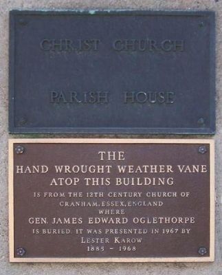
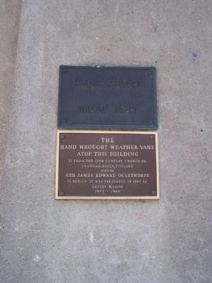
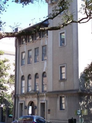
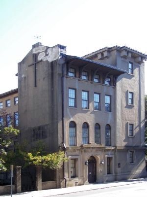
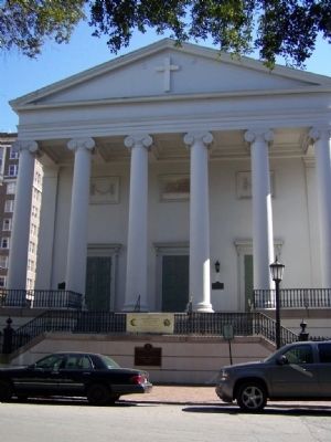
Christ Church Parish House
(upper marker):
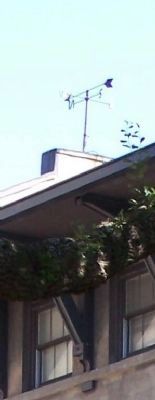
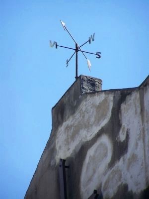
hand wrought weather vane
atop this building
is from the 12th century church of
Cranham, Essex, England
where
Gen. James Edward Oglethorpe
is buried. It was presented in 1967 by
Lester Karow
1885-1968
Topics. This historical marker is listed in this topic list: Churches & Religion. A significant historical year for this entry is 1967.
Location. 32° 4.786′ N, 81° 5.346′ W. Marker is in Savannah, Georgia, in Chatham County. It is in the Historic District - North. Marker is on Abercorn Street, on the right when traveling north. The marker is on Reynolds Square in Savannah. Touch for map. Marker is at or near this postal address: 18 Abercorn Street, Savannah GA 31401, United States of America. Touch for directions.
Other nearby markers. At least 8 other markers are within walking distance of this marker. Site of Filature (within shouting distance of this marker); John Wesley (within shouting distance of this marker); Wesley Chapel Trinity / John Wesley's American Parish (within shouting distance of this marker); Italians in Georgia's Genesis (within shouting distance of this marker); John Wesley, 1703 - 1791 (within shouting distance of this marker); Savannah: Colonial Capital and Birthplace of (about 300 feet away, measured in a direct line); The Oliver Sturges House (about 300 feet away); Salzburger Monument of Reconciliation (about 300 feet away). Touch for a list and map of all markers in Savannah.
Credits. This page was last revised on February 8, 2023. It was originally submitted on March 11, 2008, by Mike Stroud of Bluffton, South Carolina. This page has been viewed 1,564 times since then and 52 times this year. Photos: 1. submitted on August 25, 2013, by Mike Stroud of Bluffton, South Carolina. 2, 3. submitted on March 11, 2008, by Mike Stroud of Bluffton, South Carolina. 4. submitted on November 16, 2008, by Mike Stroud of Bluffton, South Carolina. 5. submitted on March 11, 2008, by Mike Stroud of Bluffton, South Carolina. 6. submitted on November 16, 2008, by Mike Stroud of Bluffton, South Carolina. 7. submitted on March 11, 2008, by Mike Stroud of Bluffton, South Carolina. • Christopher Busta-Peck was the editor who published this page.
