Near Pine Springs in Culberson County, Texas — The American South (West South Central)
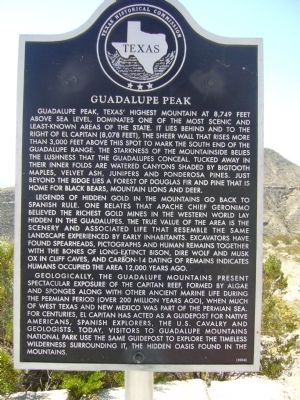
Guadalupe Peak
Legends of hidden gold in the mountains go back to Spanish rule. One relates that Apache Chief Geronimo believed the richest gold mines in the western world lay hidden in the Guadalupes. The true value of the area is the scenery and associated life that resemble the same landscape experienced by early inhabitants. Excavators have found spearheads, pictographs and human remains together with the bones of long-extinct bison, dire wolf and musk ox in cliff caves, and carbon-14 dating of remains indicates humans occupied the area 12,000 years ago.
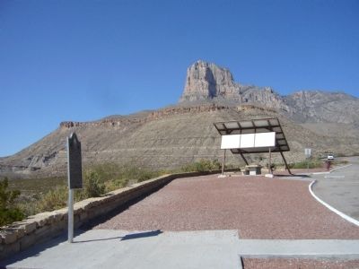
Geologically, the Guadalupe Mountains present spectacular exposure of the Capitan reef, formed by algae and sponges along with other ancient marine life during the Permian period (over 200 million years ago), when much of west Texas and New Mexico was part of the Permian Sea. For centuries, El Capitan has acted as a guidepost for native Americans, Spanish explorers, the U.S. Cavalry and geologists. Today, visitors to Guadalupe Mountains National Park use the same guidepost to explore the timeless wilderness surrounding it, the hidden oasis found in the mountains.
Erected 2004 by Texas Historical Commission. (Marker Number 7930.)
Topics. This historical marker is listed in these topic lists: Anthropology & Archaeology • Environment.
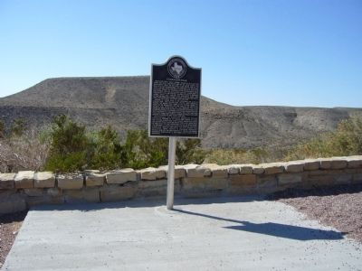
Location. 31° 51.235′ N, 104° 50.678′ W. Marker is near Pine Springs, Texas, in Culberson County. Marker is on U.S. 62/180, 4˝ miles north of Texas Highway 54, on the right when traveling west. Marker is in the rest area. Touch for map. Marker is in this post office area: Salt Flat TX 79847, United States of America. Touch for directions.
Other nearby markers. At least 8 other markers are within 5 miles of this marker, measured as the crow flies. A different marker also named Guadalupe Peak (within shouting distance of this marker); The "Committee of Five" (approx. 3.1 miles away); Stephen Tyng Mather (approx. 3.1 miles away); Groundbreaking for the Pine Springs Visitor Center (approx. 3.1 miles away); The Airmen (approx. 3.2 miles away); Ruins of "The Pinery" or "Pine Spring" Stage Stand (approx. 3.2 miles away); Butterfield Overland Mail (approx. 3.2 miles away); Frijole Historic Site (approx. 4˝ miles away). Touch for a list and map of all markers in Pine Springs.
Related marker. Click here for another marker that is related to this marker. the original 1963 marker shown.
Also see . . . Guadalupe Mountains National Park. (Submitted on November 30, 2012.)
Credits. This page was last revised on June 16, 2016. It was originally submitted on November 29, 2012, by Bill Kirchner of Tucson, Arizona. This page has been viewed 785 times since then and 35 times this year. Photos: 1, 2, 3. submitted on November 29, 2012, by Bill Kirchner of Tucson, Arizona. • Bernard Fisher was the editor who published this page.


