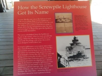
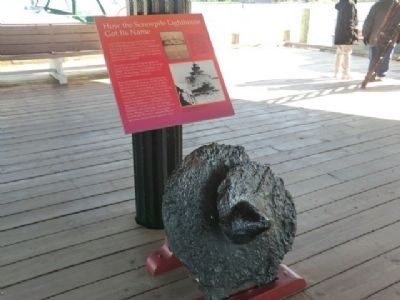
How the Screwpile Lighthouse Got Its Name
The screws also helped keep the lighthouse secure in the winter, when ice froze around the pilings. When the tide rose beneath the ice, it tried to lift the pilings with it, but the screws were designed to hold them fast.
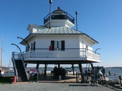
Screwpile lighthouses were a great innovation—they could be built out in the middle of the Bay, and could be seen by boats far from the shore. But winter ice remained their greatest enemy. Even beneath a frozen Bay, the tides rise and fall, lifting and lowering the ice above them. Over a long winter this continuous action can place enormous pressures on a lighthouse’s slender legs. In all thirteen screwpile lighthouses were destroyed by ice and nearly every screwpile lighthouse suffered damage. Only four remain today. Of those, only one is in its original location, the other three—including this one—have been moved to land to preserve them.
Topics and series. This historical marker is listed in this topic list: Waterways & Vessels.
Location. 38° 47.25′ N, 76° 13.152′ W. Marker is in St. Michaels, Maryland, in Talbot County. Marker is on Mill Street. This marker is on the grounds of the Chesapeake Maritime Museum. Touch for map. Marker is in this post office area: Saint Michaels MD 21663, United States of America. Touch for directions.
Other nearby markers. At least 8 other markers are within walking distance of this marker. Hooper Strait Lighthouse (a few steps from this marker); Point Lookout Fog Bell Tower (within shouting distance of this marker); Iconic Chesapeake Light (within shouting distance of this marker); Delaware (within shouting distance of this marker); Last Bell Foundry (within shouting distance of this marker); The Miles River (within shouting distance of this marker); Thor, Pilothouse (within shouting distance of this marker); Heard Through the Fog (within shouting distance of this marker). Touch for a list and map of all markers in St. Michaels.
Credits. This page was last revised on June 16, 2016. It was originally submitted on November 29, 2012, by Don Morfe of Baltimore, Maryland. This page has been viewed 361 times since then and 3 times this year. Photos: 1, 2, 3, 4. submitted on November 29, 2012, by Don Morfe of Baltimore, Maryland. • Bill Pfingsten was the editor who published this page.


