Franklin in Williamson County, Tennessee — The American South (East South Central)
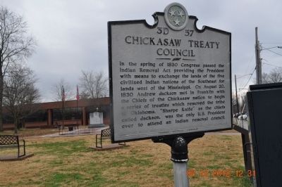
Chickasaw Treaty Council
Erected by Tennessee Historical Commission. (Marker Number 3D 57.)
Topics and series. This historical marker is listed in this topic list: Native Americans. In addition, it is included in the Former U.S. Presidents: #07 Andrew Jackson, and the Tennessee Historical Commission series lists. A significant historical year for this entry is 1830.
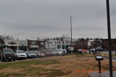
Location. 35° 55.421′ N, 86° 52.31′ W. Marker is in Franklin, Tennessee, in Williamson County. Marker is at the intersection of West Main Street and Columbia Avenue, on the left when traveling west on West Main Street. Touch for map. Marker is in this post office area: Franklin TN 37064, United States of America. Touch for directions.
Other nearby markers. At least 8 other markers are within walking distance of this marker. Field Hospitals (here, next to this marker); Andrew Jackson (a few steps from this marker); Williamson County (within shouting distance of this marker); Presbyterian Church (within shouting distance of this marker); St. Paul's Episcopal Church (within shouting distance of this marker); 432-438 Main Street (within shouting distance of this marker); 430 Main Street (within shouting distance of this marker); Franklin Special School District (about 300 feet away, measured in a direct line). Touch for a list and map of all markers in Franklin.
Credits. This page was last revised on June 16, 2016. It was originally submitted on December 10, 2012, by Sandra Hughes Tidwell of Killen, Alabama, USA. This page has been viewed 607 times since then and 26 times this year. Photos: 1, 2. submitted on December 10, 2012, by Sandra Hughes Tidwell of Killen, Alabama, USA. • Bernard Fisher was the editor who published this page.

