Near Peru in Miami County, Indiana — The American Midwest (Great Lakes)
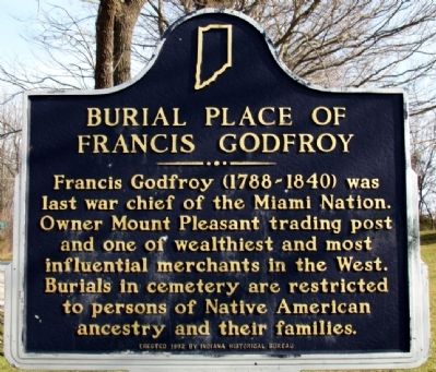
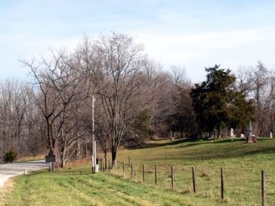
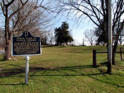
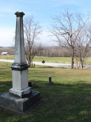
Burial Place of Francis Godfroy
Erected 1992 by Indiana Historical Bureau. (Marker Number 52.1992.1.)
Topics and series. This historical marker is listed in these topic lists: Cemeteries & Burial Sites • Native Americans. In addition, it is included in the Indiana Historical Bureau Markers series list.
Location. 40° 45.064′ N, 85° 59.603′ W. Marker is near Peru, Indiana, in Miami County. Marker is at the intersection of State Road 124 and County Road E 100 S on State Road 124. Touch for map. Marker is in this post office area: Peru IN 46970, United States of America. Touch for directions.
Other nearby markers. At least 8 other markers are within 4 miles of this marker, measured as the crow flies. Chief Francis Godfroy's Council Chambers (here, next to this marker); House of Chief Richardville (approx. 1.4 miles away); Lost Sister Trail (approx. 3.2 miles away); The Peru Public Library (approx. 3.8 miles away); The Little Girl with her Bike; Marie Sturat Edwards (approx. 3.8 miles away); Jerimiah Mugivan 1874-1930 (approx. 3.8 miles away); Replica of the Statue of Liberty (approx. 3.9 miles away); Votes For Women (approx. 4 miles away). Touch for a list and map of all markers in Peru.
Credits. This page was last revised on June 16, 2016. It was originally submitted on November 16, 2012, by Duane Hall of Abilene, Texas. This page has been viewed 681 times since then and 18 times this year. Last updated on December 11, 2012, by Duane Hall of Abilene, Texas. Photos: 1, 2. submitted on November 16, 2012, by Duane Hall of Abilene, Texas. 3. submitted on July 13, 2015, by Duane Hall of Abilene, Texas. 4. submitted on November 16, 2012, by Duane Hall of Abilene, Texas. • Bill Pfingsten was the editor who published this page.


