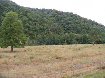
Deer in Newton County, Arkansas — The American South (West South Central)
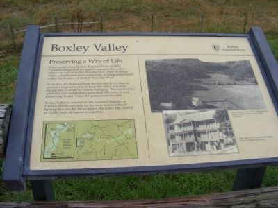
Boxley Valley
Preserving a Way of Life
— Buffalo National River —
To do this, the National Park Service and local citizens created a long-term plan to keep the valley privately owned to retain its historic integrity. The community spirit that has endured for more than 150 years is now preserving Boxley Valley for generations to come.
Boxley Valley is entered on the National Register of Historic Places, not only for its more-recent cultural heritage but also for the evidence the valley has yielded of 12,000 years of human occupation.
Captions:
Descendants of the valley's 19th-century settlers still work the land of their forefathers.
After the Civil War, frame dwellings began to replace log homes.
Topics. This historical marker is listed in this topic list: Notable Places. A significant historical year for this entry is 1972.
Location. 36° 0.246′ N, 93° 22.5′ W. Marker is in Deer, Arkansas, in Newton County. Marker is on State Highway 43. Touch for map. Marker is in this post office area: Deer AR 72628, United States of America. Touch for directions.
Other nearby markers. At least 5 other markers are within 11 miles of this marker, measured as the crow flies. A Monarch Returns (approx. 0.4 miles away); Beaver Jim Villines (approx. 1.4 miles away); Civil War in Newton County / Newton County Civil War Troops (approx. 10˝ miles away); Newton County Veterans Memorial (approx. 10˝ miles away); Newton County (approx. 10˝ miles away).
Credits. This page was last revised on June 16, 2016. It was originally submitted on December 11, 2012, by Don Morfe of Baltimore, Maryland. This page has been viewed 510 times since then and 14 times this year. Photos: 1, 2. submitted on December 11, 2012, by Don Morfe of Baltimore, Maryland. • Craig Swain was the editor who published this page.

