Near Sharpsburg in Washington County, Maryland — The American Northeast (Mid-Atlantic)
Stuart's Cavalry Division
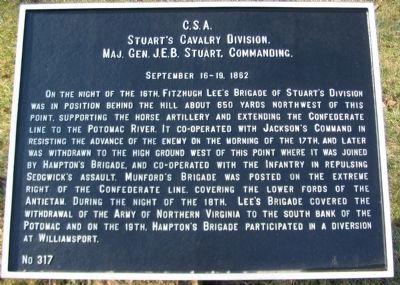
Stuart's Cavalry Division.
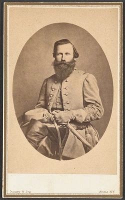
Maj. Gen. J.E.B. Stuart, Commanding.
September 16-19, 1862
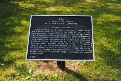
On the night of the 16th, Fitzhugh Lee's Brigade of Stuart's Division was in position behind the hill about 650 yards northwest of this point, supporting the horse artillery and extending the Confederate line to the Potomac River. It co-operated with Jackson's Command in resisting the advance of the enemy on the morning of the 17th, and later was withdrawn to the high ground west of this point where it was joined by Hampton's Brigade, and co-operated with the Infantry in repulsing Sedgwick's assault. Munford's Brigade was posted on the extreme right of the Confederate line, covering the lower fords of the Antietam. During the night of the 18th, Lee's Brigade covered the withdrawal of the Army of Northern Virginia to the south bank of the Potomac and on the 19th, Hampton's Brigade participated in a diversion at Williamsport.
Erected by Antietam Battlefield Board. (Marker Number 317.)
Topics and series. This historical marker is listed in this topic list: War, US Civil. In addition, it is included in the Antietam Campaign War Department Markers series list. A significant historical date for this entry is September 16, 1862.
Location. 39° 28.97′ N, 77° 45.131′ W. Marker is near Sharpsburg, Maryland, in Washington County. Marker is on Hagerstown Pike (State Highway 65), on the right when traveling south. Touch for map. Marker is in this post office area: Sharpsburg MD 21782, United States of America. Touch for directions.
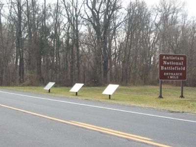
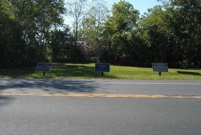
Other nearby markers. At least 10 other markers are within walking distance of this marker. Hampton's Brigade, Stuart's Cavalry Division (here, next to this marker); Lee's Brigade, Stuart's Cavalry Division (here, next to this marker); First Army Corps (within shouting distance of this marker); Longstreet's Command (about 300 feet away, measured in a direct line); a different marker also named First Army Corps (approx. 0.2 miles away); Battery C, 5th U.S. Artillery (approx. 0.2 miles away); Twelfth Army Corps (approx. 0.2 miles away); Battery B, 4th U.S. Artillery (approx. 0.2 miles away); a different marker also named First Army Corps (approx. 0.2 miles away); a different marker also named First Army Corps (approx. 0.2 miles away). Touch for a list and map of all markers in Sharpsburg.
Related markers. Click here for a list of markers that are related to this marker. Stuart's Division at Antietam.
Also see . . .
1. Antietam Battlefield. National Park Service site. (Submitted on March 13, 2008, by Craig Swain of Leesburg, Virginia.)
2. Stuart's Cavalry Division. On the staff of Stuart's Division at the battle were Major Johann August Heinrich Heros von Borcke as Chief of Staff, and Lieutenant John S. Mosby. (Submitted on March 13, 2008, by Craig Swain of Leesburg, Virginia.)
3. J.E.B. Stuart. James Ewell Brown "Jeb" Stuart (February 6, 1833 – May 12, 1864) was a United States Army officer from the U.S. state of Virginia who later became a Confederate States Army general during the American Civil War. (Submitted on October 27, 2015, by Brian Scott of Anderson, South Carolina.)
Photographed By Craig Swain, February 9, 2008
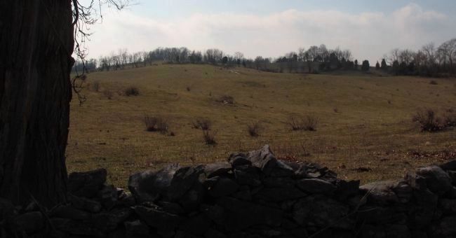
6. Nicodemus Heights
Stuart's Horse Artillery, under Captain John Pelham, held the high ground here on the morning of the battle. The ground is just above 500 feet in elevation, making it among the highest points on the main battlefield. The ground is just to the northwest of the marker location. This photo was taken from Mondell Road, north of the marker.
Credits. This page was last revised on December 7, 2017. It was originally submitted on March 13, 2008, by Craig Swain of Leesburg, Virginia. This page has been viewed 1,025 times since then and 23 times this year. Photos: 1. submitted on March 13, 2008, by Craig Swain of Leesburg, Virginia. 2. submitted on October 27, 2015, by Brian Scott of Anderson, South Carolina. 3. submitted on March 13, 2008, by Craig Swain of Leesburg, Virginia. 4, 5. submitted on October 27, 2015, by Brian Scott of Anderson, South Carolina. 6. submitted on March 13, 2008, by Craig Swain of Leesburg, Virginia.
