Near Sharpsburg in Washington County, Maryland — The American Northeast (Mid-Atlantic)
"A House Was Burning"
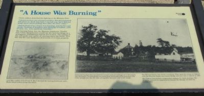
"I do not see how any of us got out alive. The shot and shell fell about us thick and fast, I can tell you, but I did not think much about getting shot after the first volley."
"Just in front of us a house was burning, and the fire and smoke, flashing of muskets and whizzing of bullets, yells of men, etc., were perfectly horrible."
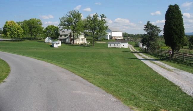
The burning house was the Mumma farmhouse. Fearful that Union sharpshooters would use the farm buildings as a strongpoint, Confederates had set fire to them. The column of fire and smoke was visible all morning above the battle. This fire was the only deliberate destruction of civilian property.
Topics. This historical marker is listed in this topic list: War, US Civil.
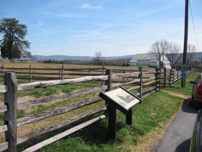
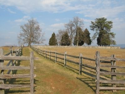
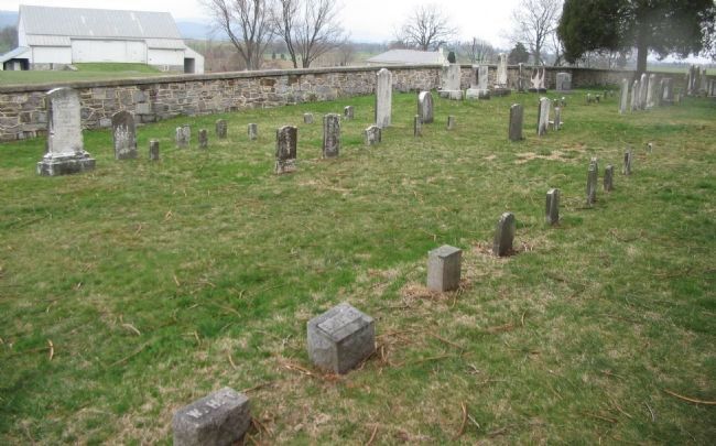
Location. This marker has been replaced by another marker nearby. 39° 28.678′ N, 77° 44.535′ W. Marker is near Sharpsburg, Maryland, in Washington County. Marker is on Mummas Lane, on the right when traveling south. Located at the start of a path leading to the Mumma Cemetery. Touch for map. Marker is in this post office area: Sharpsburg MD 21782, United States of America. Touch for directions.
Other nearby markers. At least 8 other markers are within walking distance of this location. A different marker also named A House Was Burning (here, next to this marker); Historic Cemetery (within shouting distance of this marker); Woolfolk’s (Ashland) Virginia Battery (about 500 feet away, measured in a direct line); Battery F, 5th U.S. Artillery (about 500 feet away); Battery A (about 500 feet away); Battery D, 2d U.S. Artillery (about 500 feet away); Hexamer's (New Jersey) Battery (about 500 feet away); Jackson's Command (about 500 feet away). Touch for a list and map of all markers in Sharpsburg.
More about this marker. In the lower left a drawing is captioned, Civil War combat artist Frank H. Shell sketched the burning farmhouse and a Rhode Island battery going into action.
On the right side of the marker a wartime photograph is captioned, Alexander Gardner photographed the burned out farm buildings two or three days after the battle. The photograph was taken from the far side of the farmstead. The white springhouse was the only salvageable structure and it still stands. The Mumma family lost almost everything. The spent the winter of 1862-63 with the Sherrick family near Lower Bridge and were able to rebuild in 1863. The Federal Government compensated residents for battle damages. The Mummas received no compensation because the damage was done by Confederates.
Regarding "A House Was Burning". This marker was replaced by another also named A House Was Burning (See nearby markers).
Related markers. Click here for a list of markers that are related to this marker. Virtual tour of the Smoketown Road and Mummas Lane by markers.
Also see . . . Antietam Battlefield. National Park Service site. (Submitted on March 14, 2008, by Craig Swain of Leesburg, Virginia.)
Credits. This page was last revised on August 16, 2017. It was originally submitted on March 14, 2008, by Craig Swain of Leesburg, Virginia. This page has been viewed 1,722 times since then and 16 times this year. Photos: 1. submitted on March 14, 2008, by Craig Swain of Leesburg, Virginia. 2. submitted on April 9, 2008, by Craig Swain of Leesburg, Virginia. 3. submitted on March 14, 2008, by Craig Swain of Leesburg, Virginia. 4. submitted on April 9, 2008, by Craig Swain of Leesburg, Virginia. 5. submitted on March 14, 2008, by Craig Swain of Leesburg, Virginia.
