Englishtown in Monmouth County, New Jersey — The American Northeast (Mid-Atlantic)
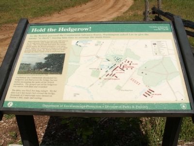
Hold the Hedgerow!
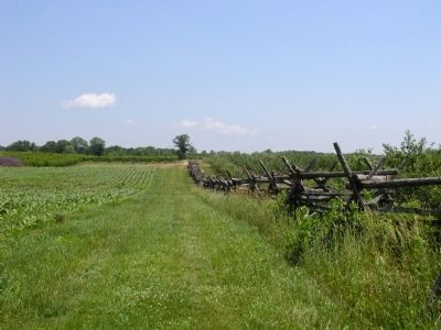
Outflanked, the Continentals abandoned the hedgerow and fled across the bridge, but not before decimating the ranks of British grenadiers. The ground east of the hedgerow was strewn with dead and wounded.
The delay was brief, but long enough. By the time Lee's last groups had crossed the bridge, thousand of Continentals were formed on Perrine’s Hill, ready and waiting.
Erected by Department of Environmental Protection.
Topics. This historical marker is listed in this topic list: War, US Revolutionary.
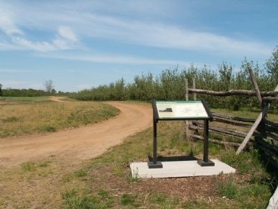
Location. 40° 16.124′ N, 74° 18.822′ W. Marker is in Englishtown, New Jersey, in Monmouth County. Marker is located on the battlefield hiking trail. Touch for map. Marker is in this post office area: Englishtown NJ 07726, United States of America. Touch for directions.
Other nearby markers. At least 8 other markers are within walking distance of this marker. The British Rush the Hedgerow (about 800 feet away, measured in a direct line); The British Grenadiers (about 800 feet away); Molly Pitcher (approx. 0.3 miles away); Battle at the Parsonage (approx. 0.4 miles away); Retreat? (approx. 0.4 miles away); Washington Checked Lee’s Retreat (approx. 0.4 miles away); a different marker also named Molly Pitcher (approx. half a mile away); Monmouth Battlefield State Park (approx. half a mile away).
Credits. This page was last revised on May 28, 2023. It was originally submitted on March 13, 2008, by Bryan Olson of Syracuse, New York. This page has been viewed 1,639 times since then and 32 times this year. Last updated on March 14, 2008, by Bryan Olson of Syracuse, New York. Photos: 1, 2, 3, 4. submitted on March 13, 2008, by Bryan Olson of Syracuse, New York. • Christopher Busta-Peck was the editor who published this page.


