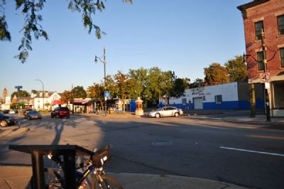
Mayor's Heights in Rochester in Monroe County, New York — The American Northeast (Mid-Atlantic)
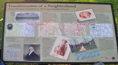
Transformation of a Neighborhood
From Pioneer Cemetery to Thriving Neighborhood
West Burying Ground
In 1820 a lot in the woods, distant from the village, was purchased for a new cemetery.
Col. Nathaniel Rochester
Col. Nathaniel Rochester was buried here in the West Burying Ground in 1831. Burials were reinterred at Mt. Hope Cemetery to make way for City Hospital.
Buffalo Bill Cody
William (Buffalo Bill) Cody once lived at 10 New York Street, a short distance west of Susan B. Anthony's 17 Madison Street home. Cody's son, Kit Carson Cody, died in 1876 at the age of five and was replaced in Buffalo Bill's Wild West Show by Cody's unofficially adopted son, seven-year-old Johnnie Baker. His children are buried at Mt. Hope Cemetery.
City Hospital
which became Rochester General Hospital, was located here on the former West Burying Ground from 1864 to 1966. When it first opened, City Hospital and nearby St. Mary's Hospital received scored of soldiers injured in the Civil War. Susan B. Anthony advocated for the professionalization of nursing at City Hospital.
Susan B. Anthony Square
First named Mechanic's Square in the 1830s for the workers whose residences were nestled among factories, two canals and the railroad; the park was redesigned in the early 1900s by the Frederick Law Olmstead Firm and renamed Madison Square Park. In 1971, the park was rededicated as Susan B. Anthony Square.
FIGHT Square
Rochester was among the first cities in the country to experience racial riots in 1964. The following year FIGHT (an acronym for Freedom, Integration, God, Hope, Today) was organized by Rev. Franklin Delano Roosevelt Florence to voice the problems that faced the black community. The neighborhood housing that once stood on this site was facilitated by FIGHT and renamed FIGHT Square.
Susan B. Anthony Preservation District
Susan B. Anthony and her sister, Mary, lived in the brick house at 17 Madison Street from the 1860s to their deaths in 1906 and 1907 respectively. Their sister Hannah Mosher lived next door. In 1977 this area was listed on the National Register of Historic Places.
Erected by City of Rochester, the Community Foundation.
Topics. This historical marker is listed in these topic lists: Cemeteries & Burial Sites • Settlements & Settlers. A significant historical year for this entry is 1820.
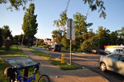
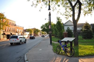
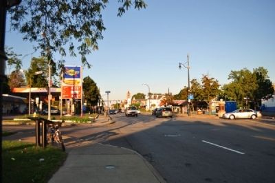
Location. 43° 9.13′ N, 77° 37.649′ W. Marker is in Rochester, New York, in Monroe County. It is in Mayor's Heights. Marker is at the intersection of East Main Street (New York State Route 33) and Reynolds Street, on the right when traveling east on East Main Street. Touch for map. Marker is in this post office area: Rochester NY 14608, United States of America. Touch for directions.
Other nearby markers.
At least 8 other markers are within walking distance of this marker. Site of Rochester City Hospital (a few steps from this marker); Susan B. Anthony House (about 400 feet away, measured in a direct line); Susan B. Anthony Voted Here (approx. 0.2 miles away); D. Matthew Brown, Jr. (approx. 0.2 miles away); Crossroads of Transportation (approx. 0.4 miles away); Hervey Ely House (approx. half a mile away); St. Mary's Hospital (approx. half a mile away); Ely House - 1837 (approx. half a mile away). Touch for a list and map of all markers in Rochester.
Credits. This page was last revised on February 16, 2023. It was originally submitted on December 16, 2012, by Yugoboy of Rochester, New York. This page has been viewed 390 times since then and 18 times this year. Photos: 1, 2, 3, 4, 5. submitted on December 16, 2012, by Yugoboy of Rochester, New York. • Bill Pfingsten was the editor who published this page.
